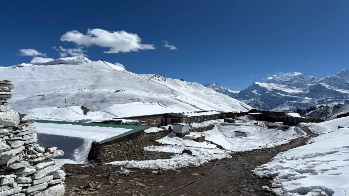
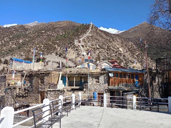
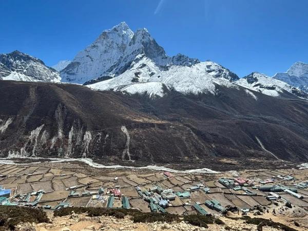
The Annapurna Circuit is one of the longest-established trekking routes in Nepal, circling the Annapurna Massif through two distinct climate zones and crossing Thorong La at 5,416 m. We have been guiding this route since the early days of the trail, and the circuit today is a different trek from what it was fifteen years ago. Jeep roads have eaten into sections of the lower route, some classic teahouse villages have grown into towns, and the upper circuit from Manang through Thorong La to Muktinath remains as compelling as it ever was.
This guide covers what the Annapurna Circuit actually costs in 2027/28, what a realistic itinerary looks like, and which sections of the route are worth walking in full.
Annapurna Circuit Trek Overview 2027/28
| Detail |
Information |
| Total distance |
160-230 km (depending on route variant) |
| Duration |
13-18 days |
| Maximum altitude |
5,416 m (Thorong La Pass) |
| Difficulty |
Moderate to challenging |
| Start point |
Besisahar or Chame (by road) |
| End point |
Kathmandu (by road via Tatopani, Beni and Pokhara) |
| Permits required |
ACAP only |
| Best time |
October-November, March-April |
The circuit is usually trekked anticlockwise — from Besisahar in the east, up through Chame and Manang, over Thorong La, down through Muktinath and the Mustang side, and out via Jomsom to Pokhara. This direction makes the Thorong La crossing more manageable, with the steep ascent on the Manang side and the longer descent into Muktinath.
Annapurna Circuit Trek Cost 2027/28
Understanding the cost breakdown before you budget is worth the time. The Annapurna Circuit involves permit fees, accommodation, food, guide and porter costs, and your international flight and insurance — all of which vary considerably depending on how you trek.
Permit Fees
One permit is required for the Annapurna Circuit:
- ACAP (Annapurna Conservation Area Permit): NPR 3,000 (approximately USD 22) for foreign nationals
The permit is issued at the Nepal Tourism Board offices in Kathmandu and Pokhara, and at the Besisahar entry counter. Buy it before you start: permits issued at a checkpoint cost double (NPR 6,000). Some agencies also list an e-TIMS card (about NPR 2,000) for guided groups, but most 2026 operator reports say Annapurna checkpoints verify the ACAP only, so confirm with your agency. Carry it throughout the trek — there are multiple checkposts on the route.
Accommodation Costs on the Annapurna Circuit
Teahouse accommodation ranges from roughly USD 5-15 per night for a basic private room, with prices rising in popular villages like Manang and Muktinath. At lower elevations in busier sections the standard is higher; above Manang, rooms are simpler. Budget USD 7-10 per night as a working average across the full route.
Food Costs on the Annapurna Circuit
Teahouse meals run USD 3-10 per dish depending on elevation and location. Dal bhat remains the best value at every stop — it comes with refills and is the most reliable hot meal at high altitude. Budget USD 15-25 per day for three meals and hot drinks. Costs are higher in Manang and Muktinath than on the lower sections.
Guide and Porter Costs
A licensed trekking guide costs approximately USD 25-35 per day. A porter costs approximately USD 18-25 per day. If you are trekking with Nepal Trekking Guide Team Adventure, guide fees are included in your trip package. Since April 2023, foreign trekkers in the Annapurna Conservation Area must hire a licensed guide through a registered agency, so a guide is a required cost, not an option. Thorong La also demands experience in variable conditions.
Full Budget Estimate (13-Day Trip)
| Category |
Approximate Cost (USD) |
| Permits (ACAP) |
~22 |
| Accommodation (12 nights) |
84-120 |
| Food (12 days) |
180-300 |
| Guide (12 days) |
300-420 |
| Porter (optional, 12 days) |
216-300 |
| Local transport (Kathmandu-Bhulbhule, Tatopani-Pokhara, Pokhara-Kathmandu) |
60-125 |
| Total (excluding international flights and insurance) |
862-1,287 |
Package trek rates with Nepal Trekking Guide Team Adventure are available on our Annapurna Circuit trip page — pricing covers guide, accommodation, meals, and transport.
Annapurna Circuit Trek Itinerary 2027/28
This is the 13-day itinerary, starting with the drive from Kathmandu to Bhulbhule and ending with the drive back to Kathmandu from Pokhara, with the Thorong La crossing on Day 10.
Day 1: Drive from Kathmandu to Bhulbhule via Besisahar
Max Altitude: 840 m / 2,756 ft | Meals: Breakfast, Lunch, Dinner | Accommodation: Teahouse | Duration: 8-9 hours | Distance: 170 km / 105.6 miles
Begin the day early with a big breakfast. You will leave Kathmandu and start driving, following winding hills. For the first 4-5 hours, you will enjoy a very smooth ride. Once you reach Dumre, the road gets bumpy. Drive to Besisahar and continue from here to Bhulbhule. The scenery and mountain views along the way are phenomenal.
Day 2: Trek from Bhulbhule to Jagat
Max Altitude: 1,290 m / 4,232 ft | Meals: Breakfast, Lunch, Dinner | Accommodation: Teahouse | Duration: 5 hours | Distance: 16 km / 10 miles
The trail from Bhulbhule goes through lush forests and small villages to Jagat. Witness beautiful landscapes along the trail along with locals doing their daily chores. You will cross small bridges and come across waterfalls and streams on the way.
Day 3: Trek from Jagat to Danakyu
Max Altitude: 2,300 m / 7,546 ft | Meals: Breakfast, Lunch, Dinner | Accommodation: Teahouse | Duration: 5 hours | Distance: 12 km / 7.4 miles
Moving ahead from Jagat, you will trek along the rugged hillsides and gradually ascend to Danakyu. On the way, trek past a settlement called Bagarchhap and forests of rhododendrons, pine, and fir. The views of Mt. Manaslu and Peak 29 are superb from Danakyu.
Day 4: Trek from Danakyu to Chame
Max Altitude: 2,670 m / 8,760 ft | Meals: Breakfast, Lunch, Dinner | Accommodation: Teahouse | Duration: 5-6 hours | Distance: 10.4 km / 6.5 miles
From Danakyu, the trail follows the Marsyangdi River upstream (the Dudh Khola from the Manaslu side joins it earlier, at Dharapani). The views of Annapurna II and Mt. Manaslu are fantastic. You will trek through dense forests and come across beautiful waterfalls on the way to Chame.
Day 5: Trek from Chame to Upper Pisang
Max Altitude: 3,300 m / 10,827 ft | Meals: Breakfast, Lunch, Dinner | Accommodation: Teahouse | Duration: 5-6 hours | Distance: 13.2 km / 8.2 miles
The trail follows a steep, narrow valley that leads to Paungda Danda Rock. It is a huge rock that rises 1,500 meters from the Marsyangdi River. From here, we will descend to the Manang Valley floor, enjoying lovely views of Annapurna II and Pisang Peak. The trail then gradually ascends to Upper Pisang village.
Day 6: Trek from Upper Pisang to Manang via Ghyaru
Max Altitude: 3,730 m / 12,238 ft (Ghyaru) | Overnight: Manang, 3,540 m / 11,614 ft | Meals: Breakfast, Lunch, Dinner | Accommodation: Teahouse | Duration: 6-7 hours | Distance: 17 km / 10.6 miles
From Upper Pisang to Manang, the trail is extremely stunning. We will follow the upper route via Ghyaru, which presents breathtaking mountain panoramas of Tilicho Peak, Gangapurna, Annapurna II, Annapurna III, Annapurna IV, and more. As we get close to Manang, we can see a change in landscape as well as climate. On the way, visit the ancient Braga monastery.
Day 7: Acclimatisation Day in Manang: Hike to Ice Lake
Max Altitude: 4,600 m / 15,092 ft (Ice Lake) | Overnight: Manang, 3,540 m / 11,614 ft | Meals: Breakfast, Lunch, Dinner | Accommodation: Teahouse | Duration: 6-8 hours
We have an acclimatisation day in Manang village. This rest day is crucial to avoid altitude sickness later in the journey. In the morning, we will hike to the wonderful Ice Lake, following an offbeat route. During the hike, we will get to see fantastic mountain views. After the hike, spend the remaining day in Manang, exploring the village and resting.
Day 8: Trek from Manang to Ledar
Max Altitude: 4,200 m / 13,780 ft | Meals: Breakfast, Lunch, Dinner | Accommodation: Teahouse | Duration: 5 hours | Distance: 9.1 km / 5.6 miles
You will continue the trek to Yak Kharka from Manang. Cross a stream and ascend to Tenki village. The trail gradually gets out of the Marsyangdi valley and enters the Jar Sang Khola valley. You will trek in the northwest and pass by juniper forests. Reach Gunsan settlement, and from here, trek past yak pastures. Cross a small river via a wooden bridge and reach Yak Kharka. From here, you will ascend to Ledar for the night stay.
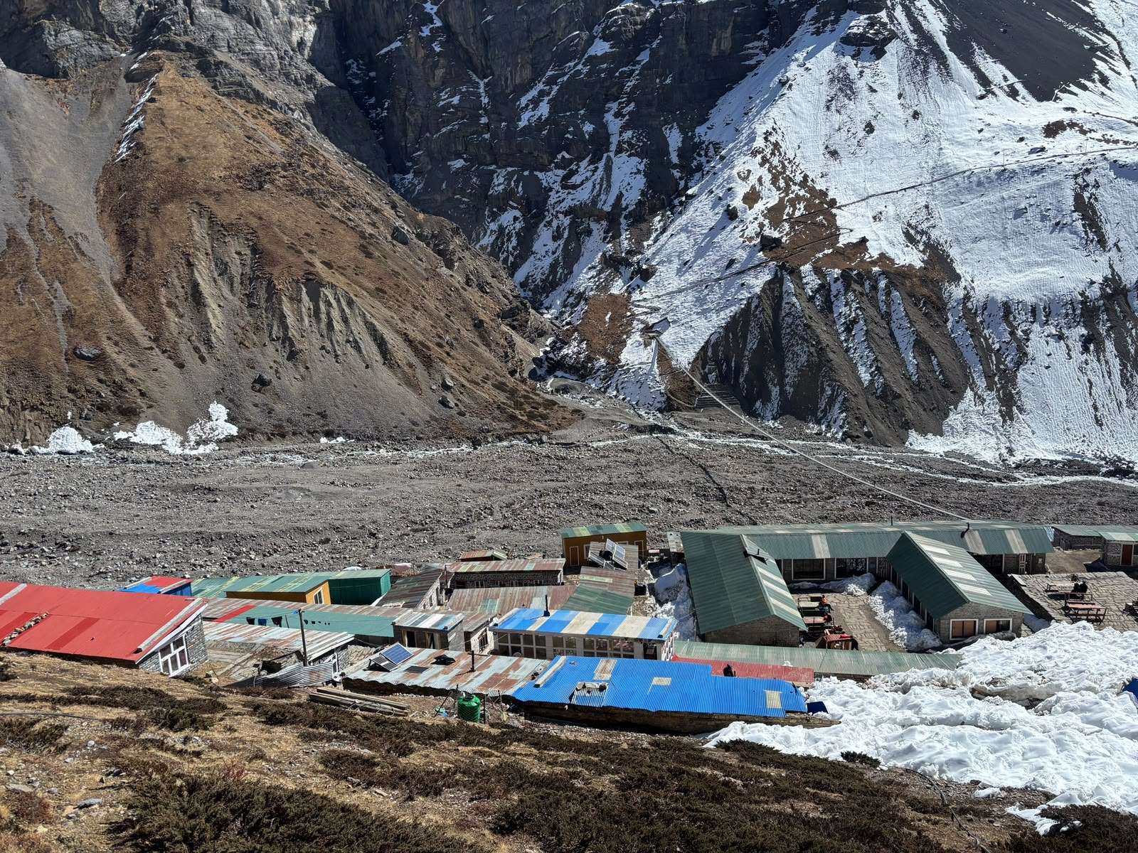
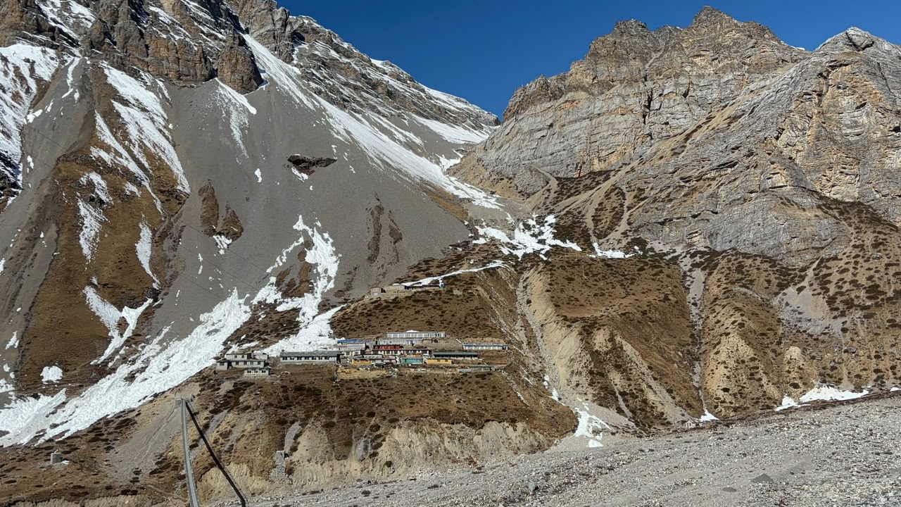
Day 9: Trek from Ledar to Thorong Phedi
Max Altitude: 4,450 m / 14,600 ft | Meals: Breakfast, Lunch, Dinner | Accommodation: Teahouse | Duration: 4 hours | Distance: 6.9 km / 4.2 miles
On this day, we will trek to Thorong Phedi and spend the night there. Leaving Ledar, we will ascend along a rugged, narrow trail. The trail continues uphill to Thorong Phedi. The mountain views are surreal along the trail. This is a short trekking day, so we will get ample time to rest and recover before crossing the Thorong La pass the next morning.
Day 10: Trek from Thorong Phedi to Muktinath via Thorong La Pass
Max Altitude: 5,416 m / 17,769 ft (Thorong La) | Overnight: Muktinath, 3,760 m / 12,336 ft | Meals: Breakfast, Lunch, Dinner | Accommodation: Teahouse | Duration: 8-9 hours | Distance: 15.6 km / 9.6 miles
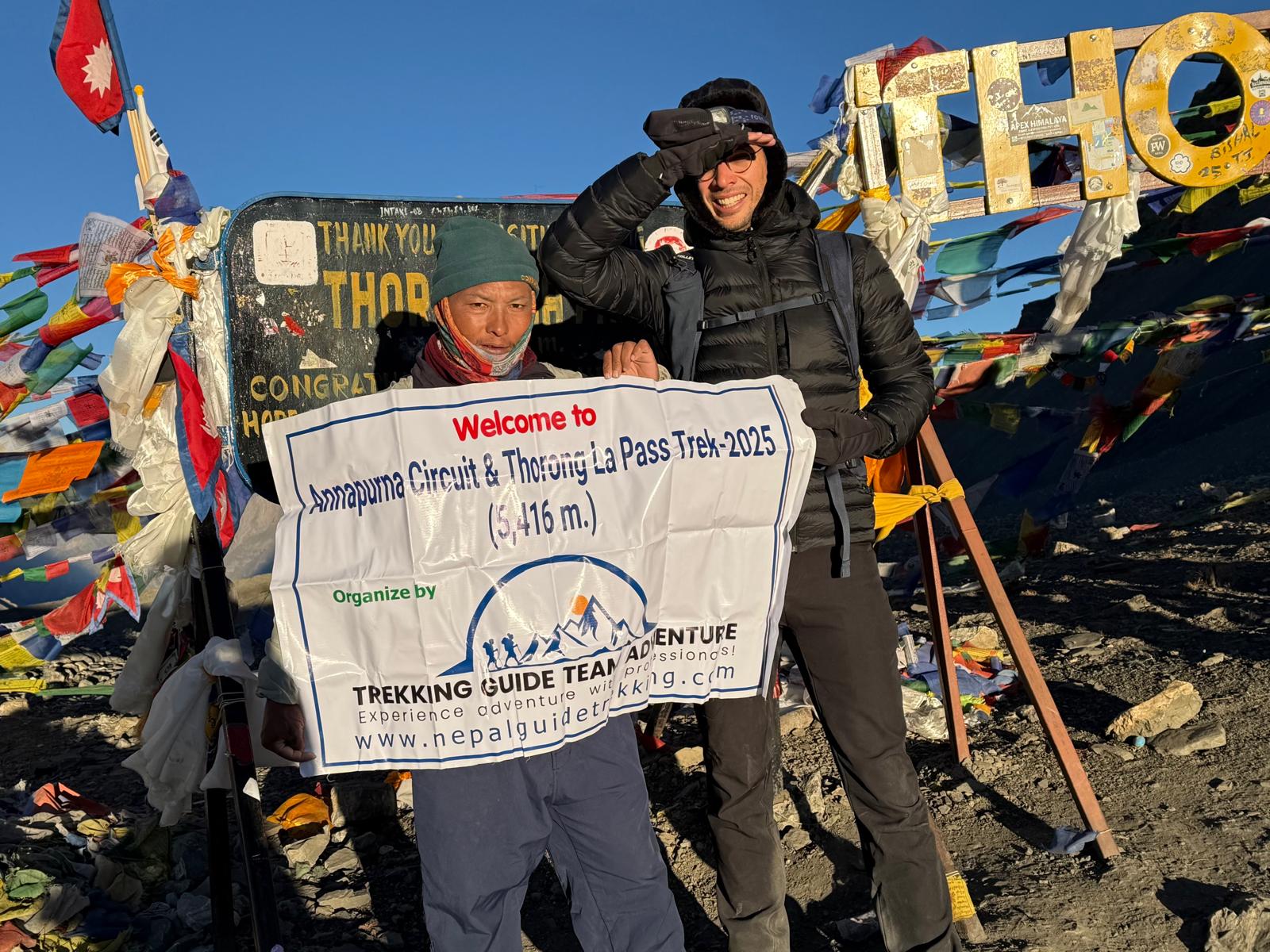
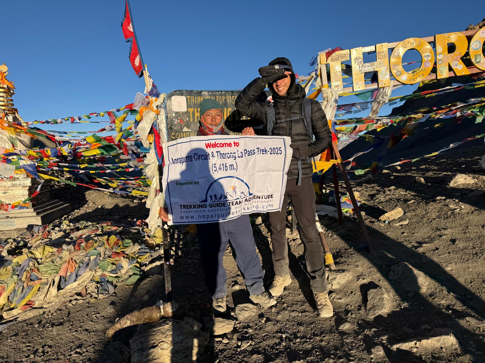
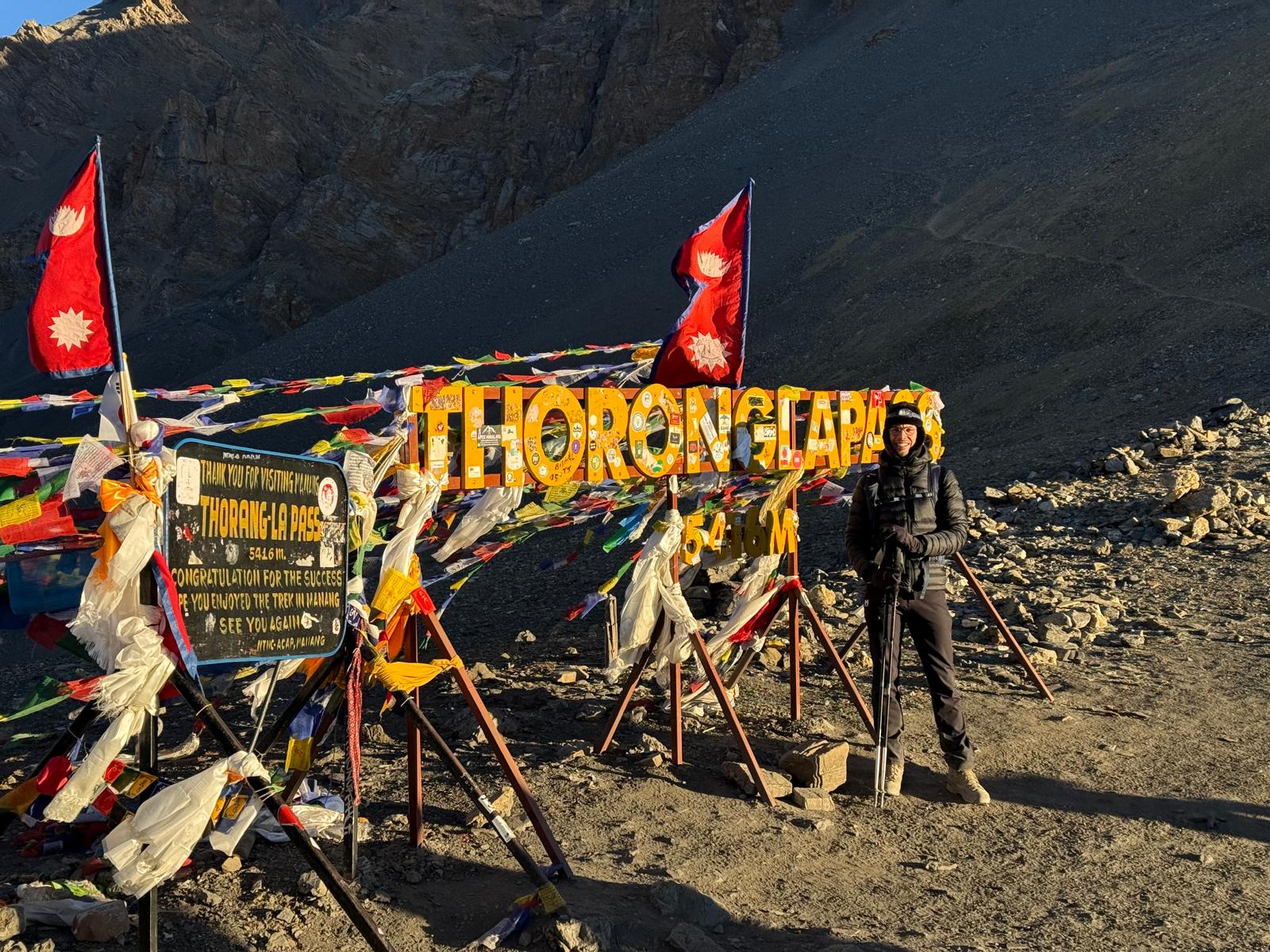
On this day, we will cross the most awaited Thorong La pass. From Thorong Phedi, we will begin trekking before sunrise to cross the pass before the strong winds hit. The trekking route is rugged and steep. We have to be careful on the way because the trail is covered with loose boulders.
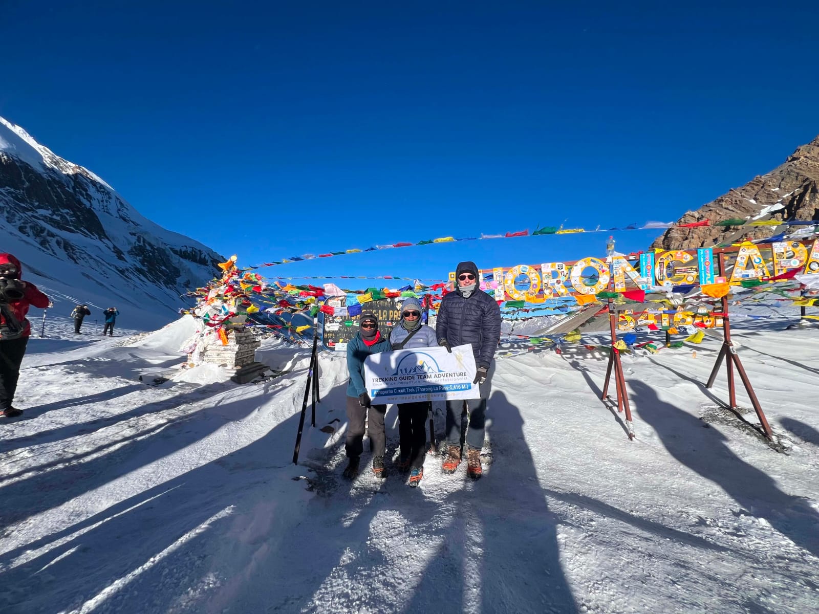
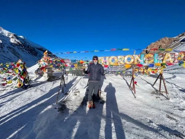
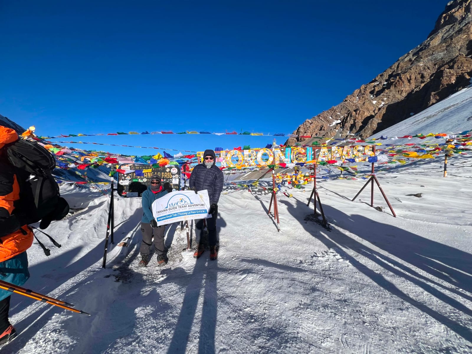
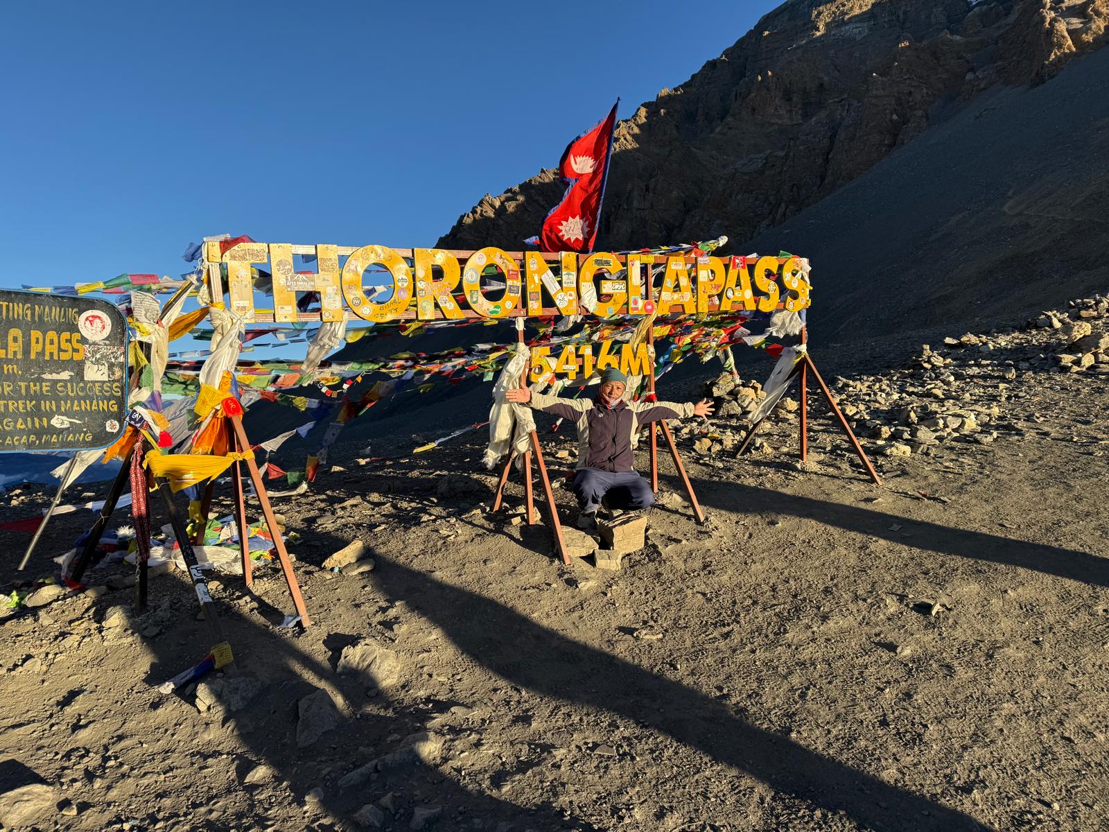
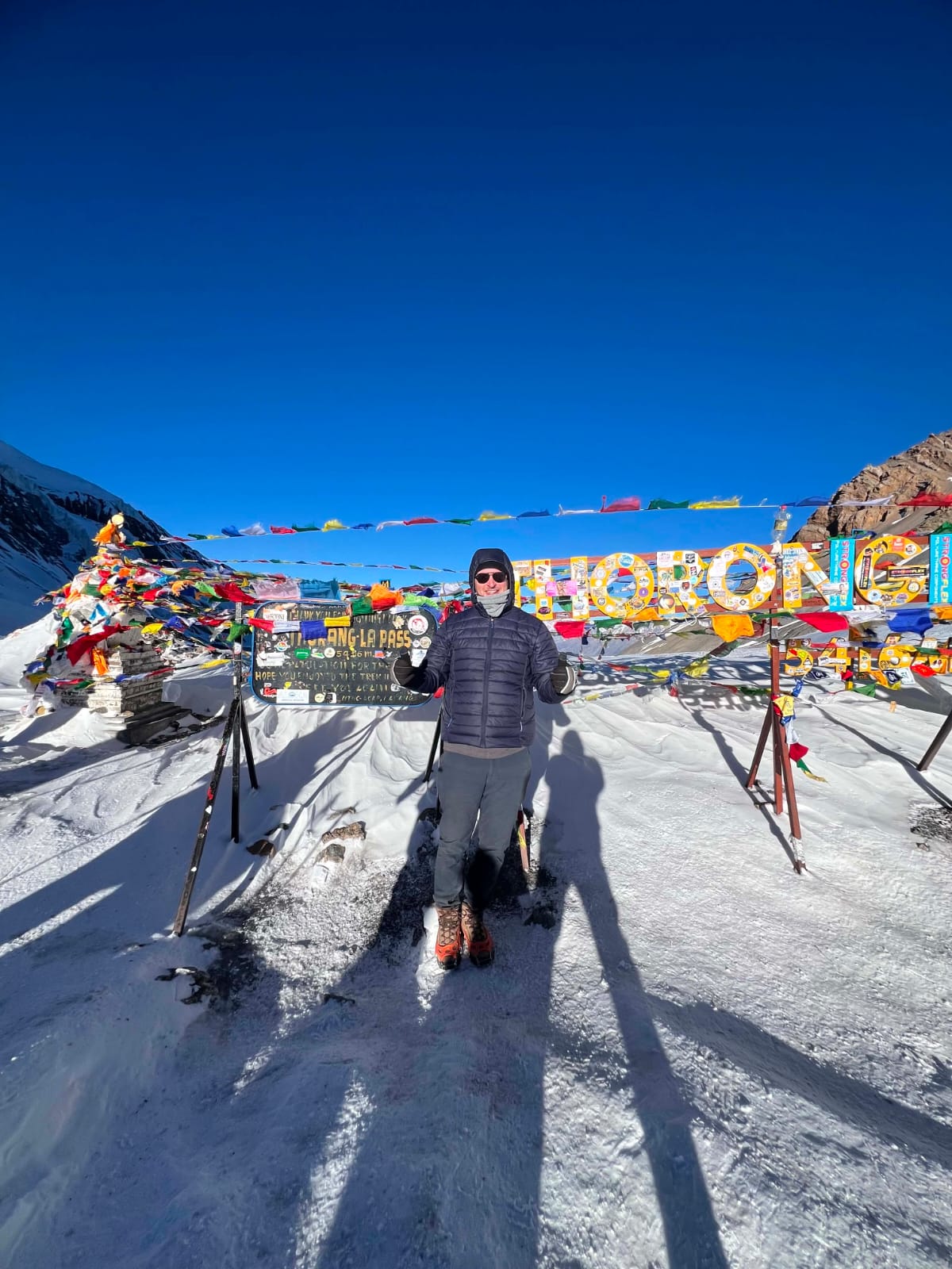
Once we reach the top of the pass, we can see numerous prayer flags. The mountain view is jaw-dropping from here. Further, we will trek down from the pass. The trail goes past a landslide-affected area and leads us to Muktinath temple, a pilgrimage site in Nepal.
Day 11: Drive from Muktinath to Tatopani by Local Sharing Bus
Max Altitude: 1,200 m / 3,937 ft | Meals: Breakfast, Lunch, Dinner | Accommodation: Teahouse | Duration: 4-6 hours | Distance: about 70 km / 43 miles
In the morning, we will get a blessing at the Muktinath Temple. From here, we will start driving to Tatopani. Following the Kali Gandaki Gorge, one of the deepest gorges in the world, we will drive past small villages on the way to Tatopani. The mountain views and landscapes are fantastic on the way. In Tatopani, you can enjoy natural hot springs.
Day 12: Drive from Tatopani to Pokhara by Local Sharing Bus
Max Altitude: 822 m / 2,697 ft | Meals: Breakfast, Lunch | Accommodation: Hotel | Duration: 5-6 hours | Distance: about 110 km / 68 miles
You will drive back to Pokhara in a local sharing bus today. From Tatopani, it is a long, scenic drive to Pokhara. Upon reaching Pokhara, spend the remaining day resting and relaxing at the shore of Phewa Lake. You can also go boating on it. Also, explore the Lakeside Market and buy souvenirs.
Day 13: Drive from Pokhara to Kathmandu
Max Altitude: 1,400 m / 4,593 ft | Meals: Breakfast | Accommodation: Hotel | Duration: 6-8 hours | Distance: about 200 km / 124 miles
After breakfast, take a tourist bus or private vehicle from Pokhara to Kathmandu along the Prithvi Highway. The drive follows the Trishuli River for much of the way and takes 6-8 hours depending on traffic. A flight of about 30 minutes is the faster option if you prefer to fly. You reach Kathmandu in the afternoon, which leaves time for souvenir shopping before your onward travel.
Best Route Sections on the Annapurna Circuit
Not all sections of the circuit are equal now that road construction has changed the lower trail. These are the parts of the route we consistently rate highest:
Upper Pisang to Manang via Ghyaru and Ngawal: The high route above the Marsyangdi valley has the best panoramic views of the entire circuit. Shorter trekkers often take the valley floor to save time — this is the section to insist on doing properly.
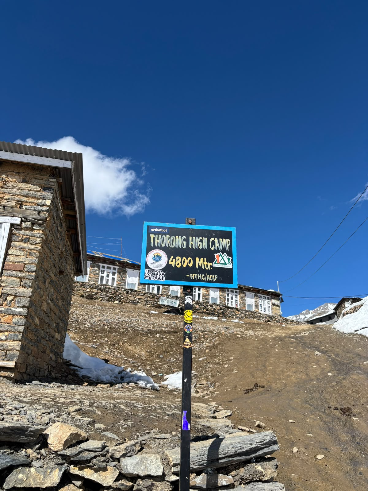
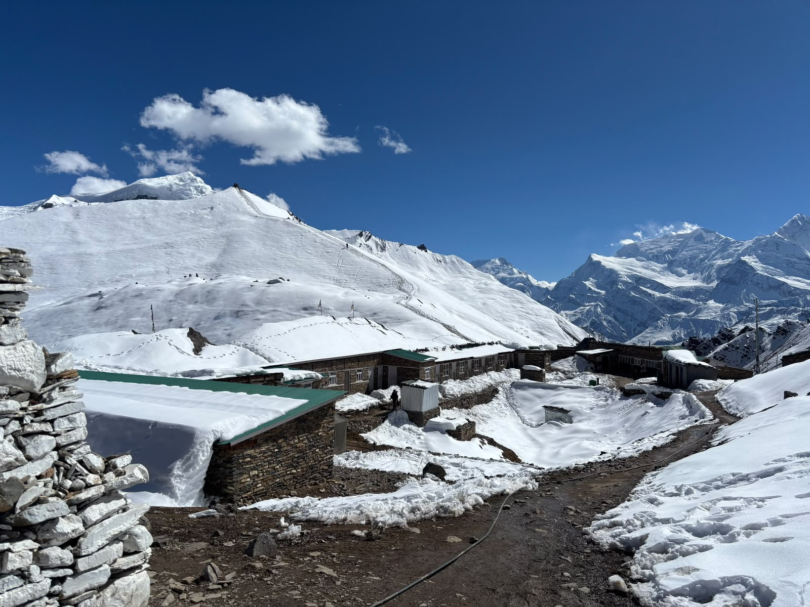
Manang to High Camp: The upper approach to Thorong La through open alpine terrain, prayer flags, and thinning air is the most atmospheric stretch of the whole route.
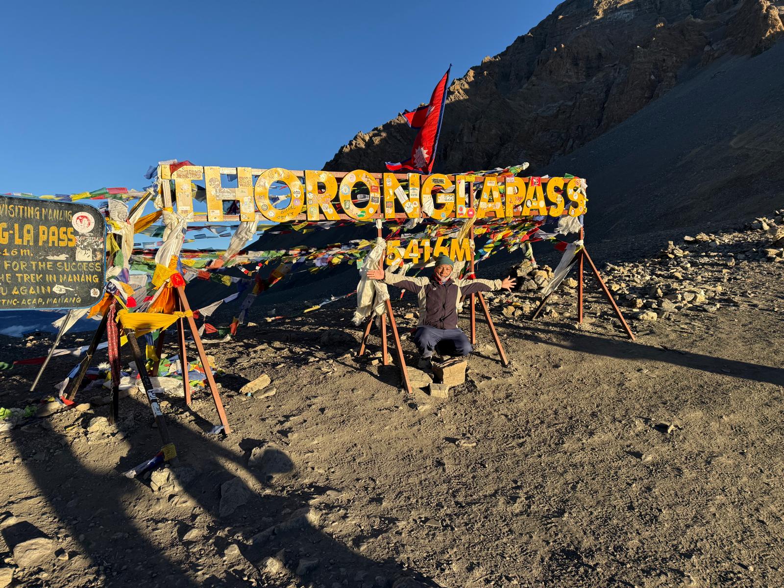
Thorong La itself: The crossing at 5,416 m is the high point of the circuit in every sense. Conditions vary — October and November are reliable, spring can bring afternoon cloud. Start early.
Muktinath to Marpha: The Mustang descent through arid landscape and old stone villages is visually unlike anything on the east side of the pass.

Annapurna Circuit Permits 2027/28
One permit is required: the ACAP (Annapurna Conservation Area Permit). It is checked at multiple points on the trail. Obtain it before you leave Kathmandu or Pokhara — there is no permit office on the trail itself. Fees are listed above in the cost section.
Best Time to Trek the Annapurna Circuit
Autumn (October to mid-November) is the most reliable season. Post-monsoon visibility is at its best, Thorong La is typically clear, and the trail is dry. This is the peak season, and teahouses fill up — book ahead for Manang and Muktinath accommodation.
Spring (March to May) offers rhododendron bloom on the lower sections and reliable Thorong La conditions through April. Late May brings pre-monsoon heat and afternoon cloud at altitude.
Winter (December to February) is possible but Thorong La can be snowbound and dangerous. Experienced trekkers with cold-weather gear have crossed in January — it requires current local reports and flexibility to turn back.
Monsoon (June to September) brings persistent rain, leeches on the lower trail, and risk of trail damage. Most trekkers avoid this season.
Annapurna Circuit Trek Difficulty
The Annapurna Circuit is a moderate to challenging trek. No technical climbing is required, but the sustained elevation gain to Thorong La, the length of the crossing day, and the altitude above Manang make this a more demanding route than shorter treks in the same region.
Good cardiovascular fitness and several days of walking experience before the trek are both helpful. The key challenge is not technical difficulty but altitude management — the acclimatisation schedule above is not a suggestion but a safety requirement.
Frequently Asked Questions
How long does the Annapurna Circuit take?
A full circuit with acclimatisation takes 14-18 days on foot from Besisahar. The 13-day itinerary above is shorter because it uses road transfers at both ends. Shorter versions of 10-12 days are possible by using the jeep road from Besisahar to Chame and flying from Jomsom to Pokhara, but we do not recommend compressing the schedule above Manang — the acclimatisation days are there for safety reasons.
Is the Annapurna Circuit better than the Everest Base Camp trek?
They are different routes with different strengths. The Annapurna Circuit covers more distance and terrain variety, passes through more culturally distinct villages, and crosses a higher pass. EBC has the stronger brand recognition and is more heavily trekked. For trekkers who want diversity of landscape and fewer crowds in the shoulder months, the circuit is often the better choice.
Do I need a guide for the Annapurna Circuit?
Nepal's trekking regulations have shifted over recent years. For the Annapurna region, a registered guide is now required. Beyond the regulatory requirement, a licensed local guide provides route knowledge, emergency support above Thorong La, and logistical management that makes the trek considerably smoother.
What is the hardest part of the Annapurna Circuit?
The Thorong La crossing day is the most demanding: an early pre-dawn start, about 966 m of ascent from Thorong Phedi (4,450 m) to 5,416 m, followed by a long descent of about 1,650 m to Muktinath. Total walking time is 8-9 hours. Physical fitness and a full acclimatisation day in Manang are the two factors that determine how manageable this day is.
Can the Annapurna Circuit be trekked solo?
Since 2023, independent trekking in Nepal's protected areas requires a licensed guide. The guide requirement applies to the Annapurna region including the circuit route.