


Everest Base Camp Trek by Road Highlights
- No Lukla flight - no flight-related cancellations or delays
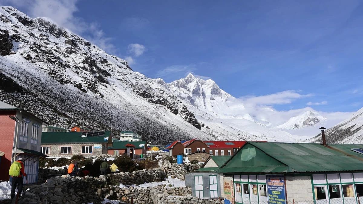
- Drive through Salleri, Phaplu, and Kharikhola - Solu Khumbu villages most EBC trekkers never see
- Two acclimatisation days built in: Namche Bazaar (Day 5) and Dingboche (Day 8)
- Kala Patthar sunrise at 5,545m - the best ground-level Everest view on the standard trekking route
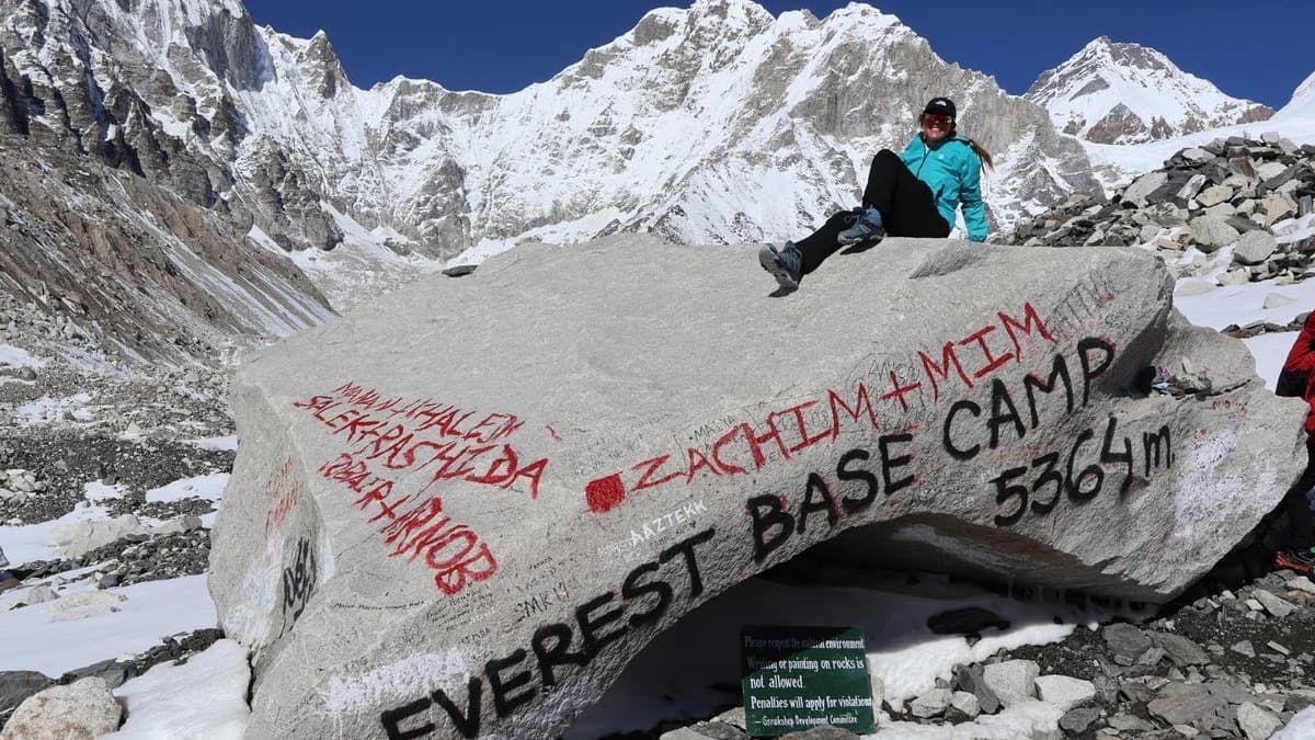
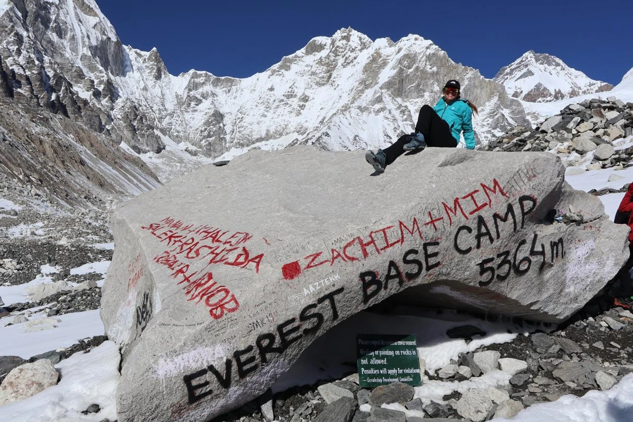
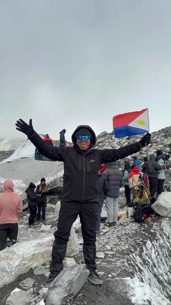
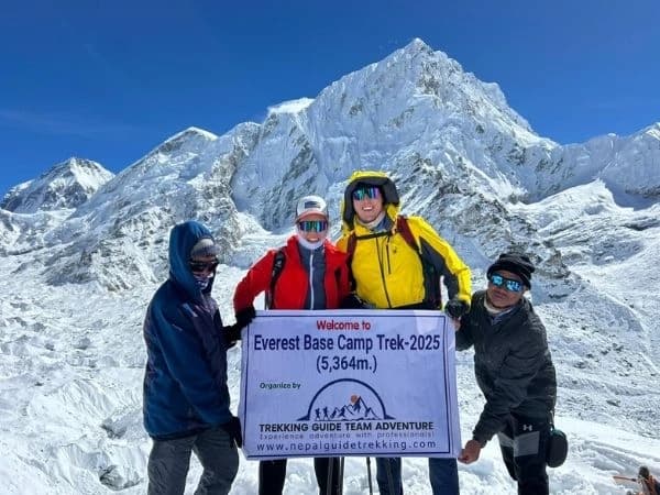
- Everest Base Camp (5,364m) - Khumbu Icefall visible up close
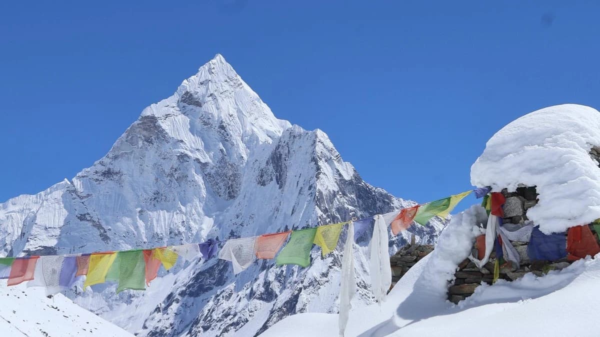
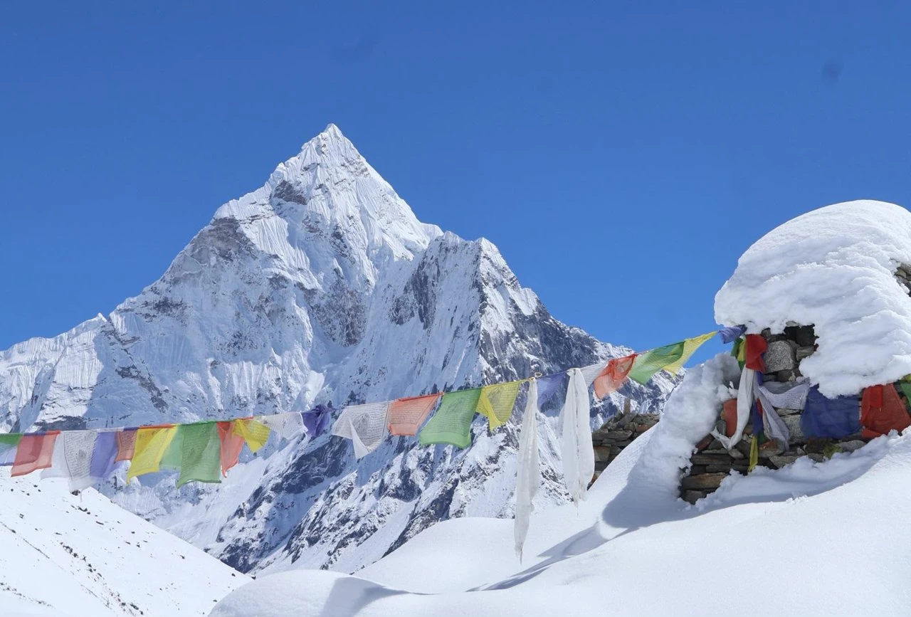
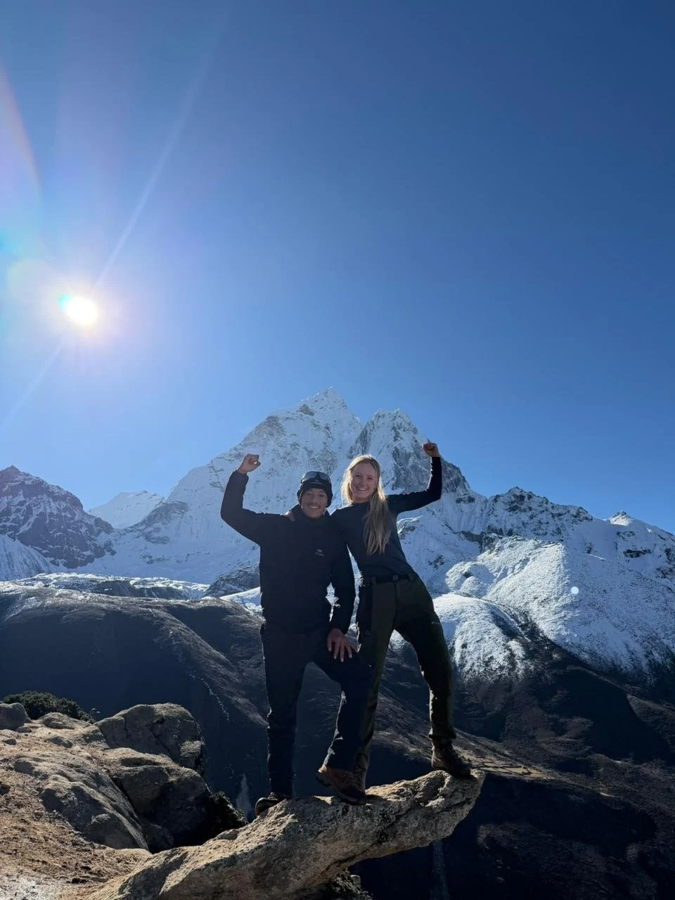
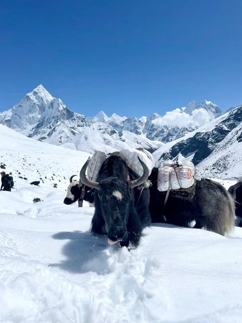
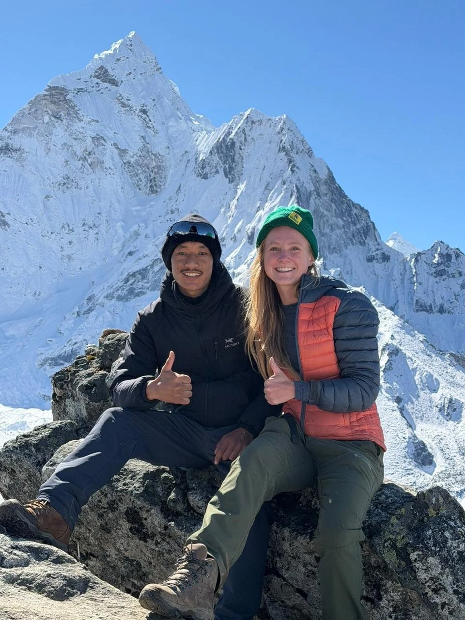
- Views of Everest (8,849m), Lhotse (8,516m), Nuptse (7,861m), Ama Dablam (6,812m)
- Tengboche Monastery afternoon chanting sessions open to visitors
- Save USD 280 to 500 per person versus standard EBC packages that include Lukla flights
Everest Base Camp Trek by Road Overview
The Everest Base Camp Trek by Road is a 16-day guided package that reaches Everest Base Camp (5,364m) and Kala Patthar (5,545m) without the Lukla flight. Instead of flying into Lukla, we drive from Kathmandu through the Solu Khumbu lowlands to Thamdanda (2,326m) by private jeep on Day 2, and begin the actual trek from there. From Thamdanda the route joins the classic Jiri-to-EBC trail at Chheplung and continues on the same corridor as the standard EBC trek through Phakding, Namche Bazaar, Tengboche, Dingboche, Lobuche, and Gorak Shep.
The road approach removes the most unpredictable element of the standard EBC trip - weather delays and cancellations at Lukla. It also passes through the Solu Khumbu lowlands, a Rai and Sherpa cultural corridor of terraced farms, rhododendron forests, and small towns including Salleri and Phaplu that the Lukla route bypasses entirely.
Trek at a Glance
| Factor | Detail |
| Duration | 16 days from Kathmandu |
| Driving Days | Day 2 (Kathmandu to Thamdanda) and Day 15 (Thamdanda to Kathmandu) - 13 to 14 hours each |
| Trekking Days | Days 3 to 14 - 12 consecutive trekking days |
| Trek Start / End | Thamdanda (2,326m) |
| Maximum Altitude | Kala Patthar - 5,545m |
| Everest Base Camp Altitude | 5,364m |
| Acclimatisation Days | 2 - Day 5 Namche Bazaar, Day 8 Dingboche |
| Daily Walking Time | 5 to 8 hours on trekking days |
| Accommodation | 2 nights Kathmandu hotel + 13 nights teahouse (twin sharing) |
| Meals | All meals (B/L/D) during the 12 trek days. Breakfast only on drive days. |
| Group Size | 1 to 10 persons - private departure daily |
Route and Navigation
Leg 1 - Road (Days 2 and 15): Kathmandu (1,400m) → BP Highway east → Ghurmi → Salleri → Phaplu → Kharikhola → Bupsa → Thamdanda (2,326m). Distance: 300km. Time: 13 to 14 hours. The off-road section from Salleri to Thamdanda requires a 4WD vehicle.
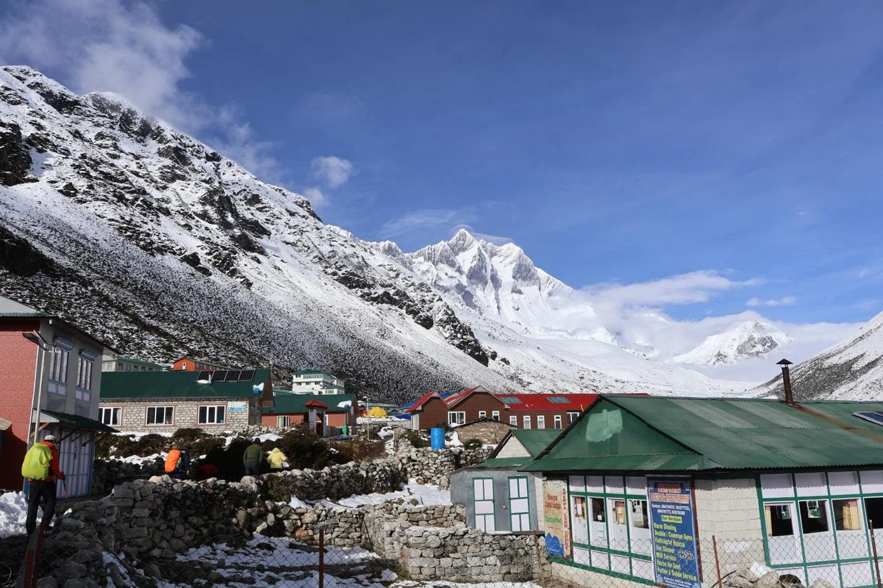
Leg 2 - Trek (Days 3 to 14): Thamdanda → Paiya → Surke → Chheplung → Phakding (2,640m) → Monjo [NP entry checkpoint] → Namche Bazaar (3,440m) → Tengboche (3,860m) → Pangboche → Dingboche (4,410m) → Lobuche (4,910m) → Gorak Shep (5,140m) → Everest Base Camp (5,364m) → Kala Patthar (5,545m) → Pheriche (4,240m) → Namche (3,440m) → Surke → Paiya → Thamdanda (2,326m).
The trail from Thamdanda to Chheplung (Day 3) follows the original Jiri-to-EBC classic route used before Lukla airport opened in 1964. The trail is clearly marked. From Chheplung onward, the route is identical to the standard EBC itinerary. A printed Sagarmatha/Khumbu trekking map covering Phakding to Kala Patthar is included in every package.
Route Distance and Altitude by Section
| Section | Distance | Walking Time | End Altitude |
| Thamdanda to Phakding | 22km | 7 to 8 hours | 2,640m |
| Phakding to Namche Bazaar | 12km | 5 to 6 hours | 3,440m |
| Namche to Tengboche | 9 to 10km | 5 to 6 hours | 3,860m |
| Tengboche to Dingboche | 12.5km | 5 to 6 hours | 4,410m |
| Dingboche to Lobuche | 7.8km | 5 to 6 hours | 4,910m |
| Lobuche to Gorak Shep and EBC | 9km | 8 to 10 hours | 5,364m (EBC) |
| Gorak Shep to Kala Patthar and Pheriche | 13.5km | 6 to 8 hours | 5,545m (Kala Patthar) |
| Pheriche to Namche Bazaar | 12.5km | 7 to 8 hours | 3,440m |
| Namche Bazaar to Surke | - | 7 to 8 hours | Surke |
| Surke to Thamdanda | - | About 4 hours | 2,326m |
EBC by Road vs Standard EBC - At a Glance
| EBC by Road (16 Days) | Standard EBC with Lukla Flight (15 Days) | |
| Lukla flight | Not required | Required - Kathmandu or Ramechhap |
| Flight cost | Save USD 280 to 500 per person | Return Lukla flight is additional cost |
| Weather risk | No flight dependency. The Salleri to Thamdanda 4WD road can be affected by landslides and mud, especially in monsoon and shoulder seasons. | Lukla cancellations add 1 to 3 buffer days |
| Day 2 experience | Drive Solu Khumbu: Salleri, Phaplu, rhododendron forest | 35-min flight to Lukla (2,840m) |
| Day 3 start | 22km, 7 to 8 hours from Thamdanda to Phakding | 6 to 8km, 3 to 4 hours from Lukla to Phakding |
| Acclimatisation | More gradual altitude gain over road + Day 3 | Immediate arrival at 2,840m |
| Route from Phakding | Identical standard EBC trail from Day 4 | Same |
| Duration | 16 days | 15 days |
| Price (2 to 4 pax) | USD 1,300 per person (no flight) | USD 1,399 per person (flight extra) |
Difficulty and Physical Fitness Required
The Everest Base Camp Trek by Road is rated strenuous. No technical climbing experience is required, but 12 consecutive trekking days at altitude - including two days above 5,000m - demands sustained physical preparation that cannot be improvised in Kathmandu.
What the Trek Actually Demands
- Walking 5 to 8 hours per day for 12 consecutive days carrying a 5 to 7kg daypack
- The climb to Namche on Day 4 - 800m net gain, about 600m of it on the final climb from the Hillary Bridge, the steepest sustained ascent on the lower route
- The pre-dawn Kala Patthar ascent at 5,000m on Day 11 - the hardest single section
- Managing appetite, digestion, and hydration at altitude where all three become harder
- Long descents on Days 11 to 14 on legs carrying accumulated fatigue from the ascent
- Cold sleeping conditions from Lobuche onward - minus 10 to minus 18 degrees Celsius overnight
Minimum Fitness Standard
The practical test: walk 6 hours carrying a 6 to 7kg daypack on hilly terrain on two consecutive days. On Sunday morning, assess honestly - if Sunday feels like genuine muscle failure rather than ordinary tiredness, continue training before the trip. Day 11 on the EBC route happens in a worse physical state than this two-day test.
Prior multi-day trekking experience above 3,500m is strongly recommended. Trekkers who have completed the Annapurna Circuit, Langtang Valley Trek, or an equivalent have the most relevant preparation. First-time Nepal trekkers can complete EBC but must be realistic about the preparation required.
12-Week Training Plan
- Weeks 1 to 4 - Aerobic base: Walk or hike 4 to 5 days per week with a 4 to 5kg daypack from Week 1. Flat or gentle gradient is fine. Target 60 to 90 minutes per session, one longer 2 to 3-hour session on weekends.
- Weeks 5 to 8 - Add elevation and weight: All weekend sessions must involve significant incline. Target 500 to 800m elevation gain per session. Increase pack weight to 6 to 8kg. Add leg-specific strength work twice per week: weighted step-ups, split squats, single-leg deadlifts. The descents from Kala Patthar (Day 11) on tired legs are where undertrained eccentric knee strength fails.
- Weeks 9 to 11 - Back-to-back days: Saturday: 5 to 6 hours with 700m elevation gain, 7 to 8kg pack. Sunday: 3 to 4 hours on tired legs, same load. Three consecutive weekends. This is the most important training block - it directly replicates what Days 9 to 11 demand.
- Week 12 - Taper: Reduce volume by 40%, keep frequency. No long days in the 10 days before travel. Arrive in Kathmandu with recovered legs.
Who Should Not Attempt This Trek
- Anyone with an uncontrolled heart condition, arrhythmia, or recent cardiac event
- Anyone with significant respiratory conditions - chronic asthma, COPD, or similar
- Anyone who has had surgery within 3 months of departure
- Pregnant trekkers
- Children under 10 - altitude above 4,000m carries specific risks for young children
Age is not a disqualifier. Trekkers in their 60s and 70s complete the EBC route every season. What matters is cardiovascular fitness, prior altitude experience, and realistic preparation. Consult your GP before departure if you have any existing medical conditions.
Acclimatisation on the Everest Base Camp Trek
Altitude sickness (Acute Mountain Sickness, AMS) occurs when the body ascends faster than it can adapt to lower oxygen levels. Above 3,000m the air contains fewer oxygen molecules per breath. At Kala Patthar (5,545m), there is approximately 52% of the oxygen available at sea level. The body adapts by breathing faster and producing more red blood cells - but these adaptations take time. The two scheduled acclimatisation days on this itinerary are built around giving the body that time.
Day 5 - Namche Bazaar (3,440m)
The first rest day comes at 3,440m after two consecutive altitude gains over Days 3 and 4. The acclimatisation hike climbs to the Everest View Hotel (3,880m) and returns to sleep at 3,440m. This climb-high sleep-low day triggers additional red blood cell production at the higher exposure altitude. Skipping this day significantly increases AMS risk on the Namche to Dingboche section.
Day 8 - Dingboche (4,410m)
The most important acclimatisation day on the whole route. We climb Nangkartshang Peak (approximately 5,083m) on the ridge directly above Dingboche and return to sleep at 4,410m. This exposes the body to over 5,000m before the sustained nights above 4,900m that begin on Day 9. Removing this day to shorten the itinerary substantially increases the risk of HAPE (High Altitude Pulmonary Oedema) and HACE (High Altitude Cerebral Oedema) above Lobuche - both life-threatening conditions requiring immediate helicopter evacuation.
Recognising AMS Symptoms
Normal symptoms above 3,500m (manageable with rest and hydration):
- Headache - the most common. Ibuprofen helps but does not address the underlying cause.
- Reduced appetite - eat anyway.
- Broken sleep - normal above 4,000m due to Cheyne-Stokes breathing.
- Mild nausea - usually manageable with rest and fluids.
Symptoms requiring immediate descent and guide notification:
- Symptoms that worsen with rest rather than stabilise
- Loss of coordination or difficulty walking a straight line
- Confusion or disorientation
- Persistent dry cough becoming productive (wet cough) - early sign of HAPE
- Blue or grey tinge to lips or fingernails
- Severe headache unresponsive to medication and rest
Our Acclimatisation Protocol
- Guide carries a pulse oximeter and checks oxygen saturation daily above 4,000m. A reading below 75% at rest is a flag.
- We keep sleeping-altitude gains to roughly 300 to 500m per day above 3,000m. The one exception is Tengboche to Dingboche on Day 7 (+550m), which is followed by a full acclimatisation day.
- We drink 3 to 4 litres of water per day above 3,500m.
- We do not use sleeping pills above 3,500m - they suppress respiratory drive and worsen overnight oxygen desaturation.
- Diamox (acetazolamide, 125mg twice daily) is available as a prophylactic. Discuss with your GP before departure. Not appropriate for sulpha drug allergies.
Permits for the Everest Base Camp Trek by Road
Two permits are required. Both are arranged by Trekking Guide Team Adventure before departure and included in the package price.
| Permit | Cost | Coverage | Verified At |
| Sagarmatha National Park Permit | NPR 3,000 per person (approx. USD 22) | The full Sagarmatha National Park area from Monjo to Kala Patthar | Monjo checkpoint on Day 4, and additional checkpoints throughout the park |
| Khumbu Pasang Lhamu Rural Municipality Permit | NPR 3,000 per person (approx. USD 22) | The Khumbu administrative area - all villages and trails from Lukla to Kala Patthar | Multiple checkpoints on the EBC corridor |
The EBC by Road itinerary joins the main EBC trail at Chheplung before the Monjo checkpoint. Both permits must be arranged before Chheplung - not just before Monjo. Our team arranges both before departure from Kathmandu. Do not arrive at Monjo without valid permits - the checkpoint is staffed and permits are checked for every trekker entering the national park.
Nepal Tourism Board rules require trekkers to be accompanied by a licensed guide, and one is included in this package. Our guides carry their government-issued NTB licence card and present it at all checkpoints.
Available Food on the Everest Base Camp Trek
Food on the EBC trail is simple, filling, and surprisingly varied up to Namche. Above Namche, menus narrow and prices rise with altitude. At Gorak Shep (5,140m) a cup of tea costs around USD 4 to 5. At Tengboche, pizza is on the menu. Both are accurate.
Breakfast
Most teahouses serve from around 6:30am. Common options on the EBC route:
- Porridge with milk and honey - filling, easy to digest, a reliable altitude food
- Eggs: fried, boiled, scrambled, or omelette with vegetables or cheese
- Tibetan bread - thick pan-fried flatbread served with jam, honey, or butter
- Pancakes with honey and lemon
- Toast with peanut butter or jam
- Muesli or cornflakes with warm milk
- Hash brown potatoes
- Milk tea, black tea, lemon tea, ginger tea, or black or milk coffee
Lunch and Dinner
Lunch is eaten at a teahouse on the trail, typically 3 to 4 hours into the morning walk. The dinner menu is nearly identical:
- Dal Bhat: Lentil soup, steamed rice, vegetable curry, and pickles. The national meal of Nepal and the single best food choice at altitude - high carbohydrates, complete protein, easy to digest. Our guides and porters eat this twice a day. Refills are always included.
- Fried rice or noodles: Vegetable or egg versions available everywhere. Reliable and fast.
- Garlic soup: Worth ordering specifically - garlic is a mild altitude sickness remedy and most teahouses on the EBC route make a proper thick version. Tomato, vegetable, and mushroom soups are also common.
- Pasta or spaghetti: Available up to Dingboche. Quality decreases with altitude.
- Momos (dumplings): Vegetable or cheese versions are safe at any altitude. Meat momos require reliable refrigeration - above Namche, refrigeration cannot be guaranteed.
- Tsampa porridge: Roasted barley flour mixed with butter tea or water. Traditional Sherpa food, high in slow-release energy. Available in Sherpa teahouses above Tengboche.
What to Avoid Above Namche
Chicken, buffalo, and yak meat above Namche carries a real gastrointestinal risk. Meat is carried up on foot or by yak over multiple days without consistent refrigeration. Food poisoning at 4,500m on Day 7 of a 12-day trek is not a minor inconvenience. Our recommendation: eat vegetarian above Namche. Dal bhat, eggs, fried rice, and noodles are all safer, more nutritious at altitude, and reliably available.
Water and Drinks
Drink 3 to 4 litres of water per day above 3,500m. Dehydration accelerates altitude sickness and worsens every symptom. Hot drinks count toward daily fluid intake. Avoid alcohol above Namche - it dehydrates, disrupts sleep, and masks early AMS symptoms.
Price Guide - On-Trail Extras
| Item | Namche (3,440m) | Dingboche (4,410m) | Gorak Shep (5,140m) |
| Cup of tea | USD 1.50 to 2 | USD 2 to 3 | USD 4 to 5 |
| Dal Bhat | USD 6 to 8 | USD 8 to 10 | USD 10 to 14 |
| Fried rice or noodles | USD 5 to 7 | USD 7 to 9 | USD 9 to 12 |
| Bottled water (1 litre) | USD 1 to 1.50 | USD 2 to 3 | USD 3 to 5 |
| Hot shower | USD 3 to 5 | USD 5 to 7 | Not available |
| Wifi (per day) | USD 3 to 5 | USD 5 to 8 | USD 8 to 12 |
All meals during the trek are included in the package. The prices above apply only to personal extras outside the included meal plan.
Packing List
Clothing - Layering System
- Thermal base layers (top and bottom): Merino wool or synthetic. Two sets.
- Mid-layer fleece or down sweater: For warmth during walking and rest stops.
- Down jacket: Rated to minus 10 degrees Celsius minimum. Required from Dingboche upward. One included in the package.
- Windproof and waterproof shell jacket: Worn over the down jacket in wind and rain. Essential above Namche.
- Waterproof trekking trousers: Or convertible trekking pants with waterproof shell for upper sections.
- Warm hat: Covers ears. Worn from Namche onward, essential for Kala Patthar before dawn.
- Neck gaiter or balaclava: Critical for Kala Patthar and Gorak Shep overnight.
- Gloves: Two pairs - thin liner gloves for walking, waterproof outer gloves for Kala Patthar.
- Trekking socks: Minimum 4 pairs. Merino wool.
Footwear
- Trekking boots: Waterproof, ankle-support, broken in before the trip. Buy before travel and wear for at least 10 hours beforehand. Do not buy boots in Thamel on departure day.
- Camp shoes or sandals: For teahouse evenings.
- Trekking poles: Included in the package. Strongly recommended for the Kala Patthar descent and Days 12 to 14.
Backpack and Bags
- Daypack (25 to 35 litres): Carried by you on trail each day. Porter carries the main bag.
- Main duffel bag (maximum 15kg for porter): A duffel bag is provided. Hard-sided suitcases are not suitable for porters on this terrain.
- Rain cover for daypack: Pack all electronics in a dry bag inside the daypack regardless.
Health and Hygiene
- Altitude medication (Diamox): Discuss with GP before departure. Standard prophylactic dose 125mg twice daily. Not for sulpha drug allergies.
- Personal first aid: Ibuprofen, blister plasters, antiseptic, personal prescription medications.
- Water bottles: Two 1-litre bottles minimum. Hydration bladders freeze above 4,500m - bottles are more reliable.
- Sunscreen SPF 50+: UV intensity at 5,000m is significantly higher than at sea level. Apply even on cloudy days.
- Lip balm with SPF: Lips crack at altitude in dry conditions.
- Hand sanitiser and wet wipes: Running water is limited above Namche.
Electronics
- Headlamp with spare batteries: Kala Patthar departure at 4am is in complete darkness. Cold reduces battery life significantly.
- Power bank (20,000mAh recommended): Charging at teahouses costs USD 2 to 5 above Namche. A full-charge power bank covers 4 to 5 phone charges.
- Camera: Keep batteries warm in a pocket at altitude - cold kills camera batteries faster than phone batteries.
- Passport in a waterproof pouch: Carry originals in your daypack at all times. Checkpoint staff verify original documents.
Departure dates and booking: contact us or call Kabiraj at +977 9851229400.
.webp&w=1200&q=75&dpl=dpl_E7WFSfpfFarQhQrrUmYZuK17D6bV)