Manaslu Circuit and Annapurna Circuit Trek - 21 Days

Trip Photos
Customize Trip
manaslu annapurna circuit trek
At a Glance
Duration21 Days
CountryNepal
Trip GradeStrenuous
i
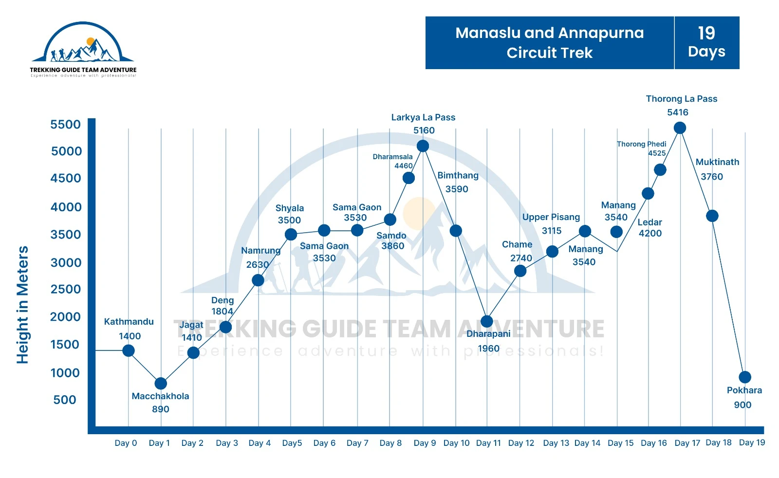
Maximum Altitude5,416m - Thorong La
Group Size1+ Pax
StartsKathmandu
EndsPokhara
Travel StyleTrekking
MealBreakfast, Lunch, Dinner
AccomodationTeahouse during trek, 3-star hotel in Kathmandu and Pokhara
Best TimeOct-Nov, Mar-Apr

Manaslu and Annapurna Circuit Trek Highlights

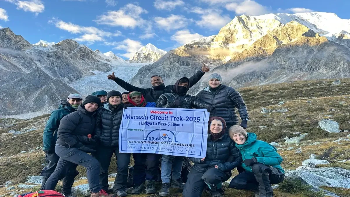
  • Cross Larkya La Pass (5,160m) on the Manaslu Circuit — completed before dawn after 9 days on the trail, with views of Himlung Himal, Kang Guru, and Annapurna II from the summit
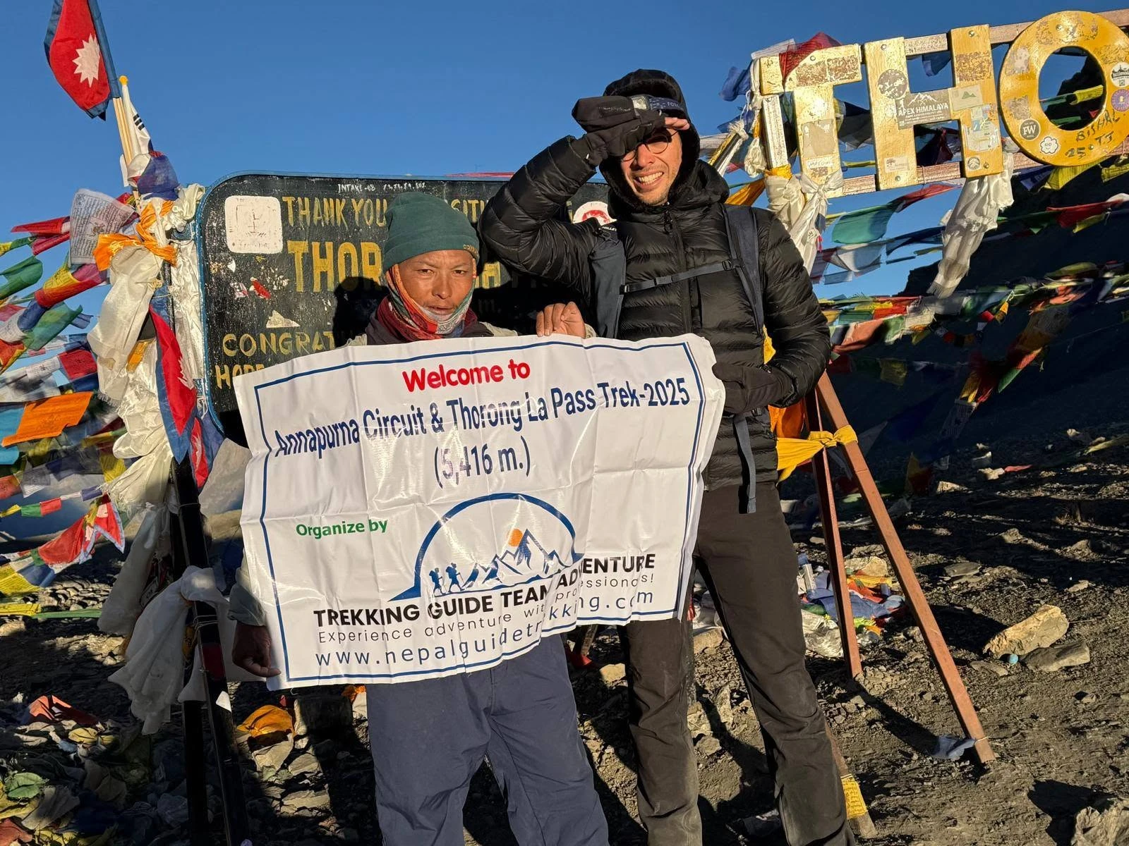
  • Cross Thorong La Pass (5,416m) on the Annapurna Circuit — the highest trekking pass in Nepal, on Day 19 after nearly three weeks in the mountains
  • Connect both circuits at Dharapani — the natural geographic junction where Manaslu ends and Annapurna begins, with no transport and no backtracking
  • Trek through the Manaslu restricted area — one of the least visited high-altitude corridors in Nepal, with Tibetan-influenced villages largely unchanged by trekking tourism
  • Acclimatisation hike to Manaslu Base Camp via Birendra Lake (4,800m) — one of the most dramatic high-altitude day hikes in the Manaslu region
  • Visit Pungyen Gompa above the Manaslu massif, Barga Monastery on the Annapurna approach, and Muktinath Temple — a pilgrimage site sacred to both Hindus and Buddhists
  • Walk through five distinct climate zones: subtropical Budhi Gandaki Valley, alpine Manaslu corridor, high-altitude Manang Valley, arid Mustang region, and the Marsyangdi descent
  • All permits (MCAP, Manaslu RAP, Chumnubri Rural Municipality Permit, ACAP) arranged by Trekking Guide Team Adventure before departure — no permit offices, no checkpoint risk

Manaslu and Annapurna Circuit Trek Overview

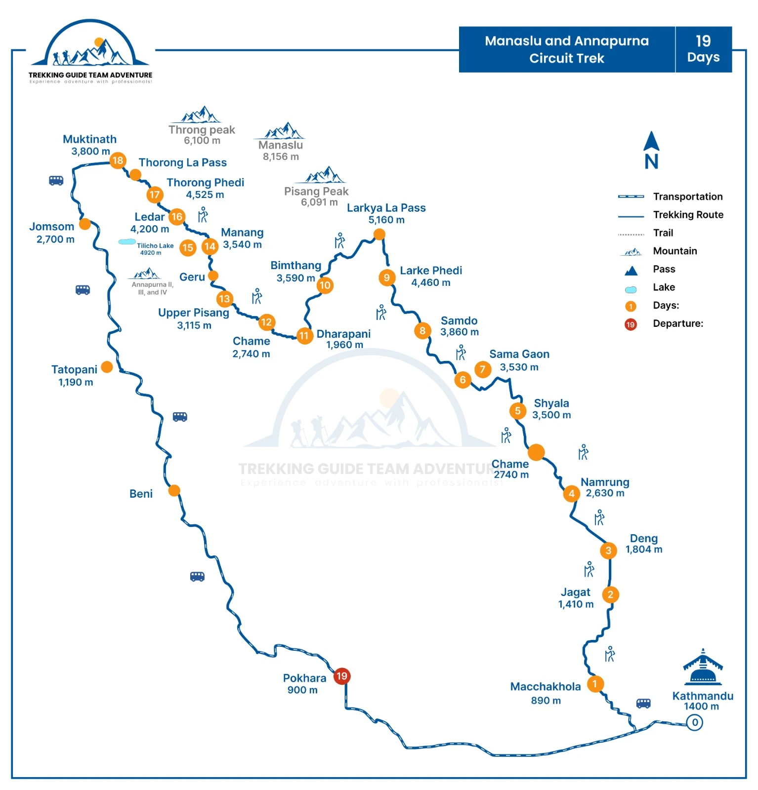
Two of Nepal's greatest mountain circuits. One continuous 21-day journey. The Manaslu Circuit crosses Larkya La Pass (5,160m) through a restricted area that sees a fraction of the trekkers on the Annapurna or Khumbu corridors. At Dharapani — where the Budhi Gandaki valley meets the Marsyangdi — the route transitions seamlessly onto the Annapurna Circuit, ascending to Manang and crossing Thorong La at 5,416m before descending to the sacred town of Muktinath. No backtracking. No vehicle transfer between circuits. One complete Himalayan traverse.

This is a strenuous 21-day itinerary for experienced trekkers. Two acclimatisation days are built in — at Sama Gaon on the Manaslu section and at Manang on the Annapurna section. All four permits are arranged by Trekking Guide Team Adventure before your departure. A TAAN-licensed guide accompanies the group throughout.
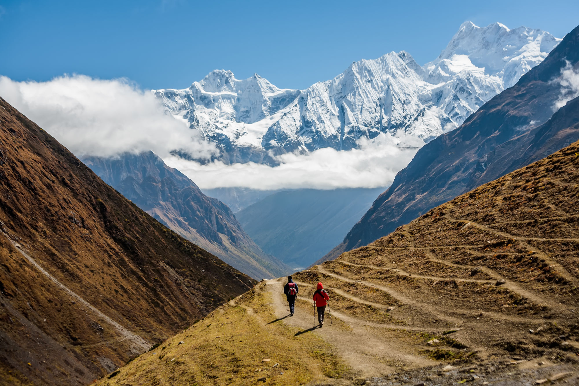
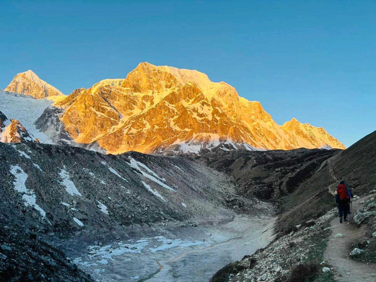
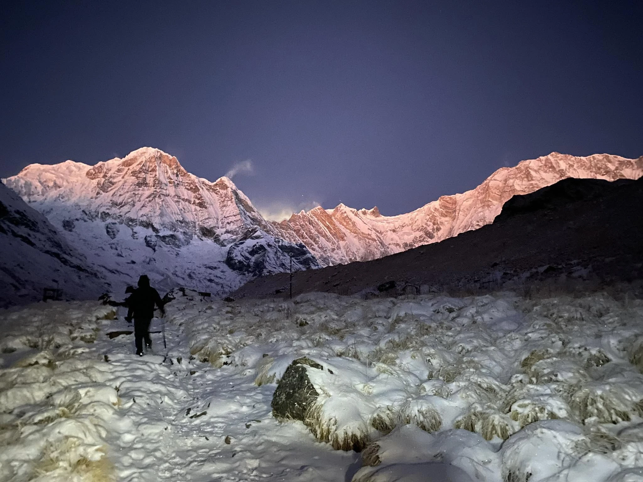
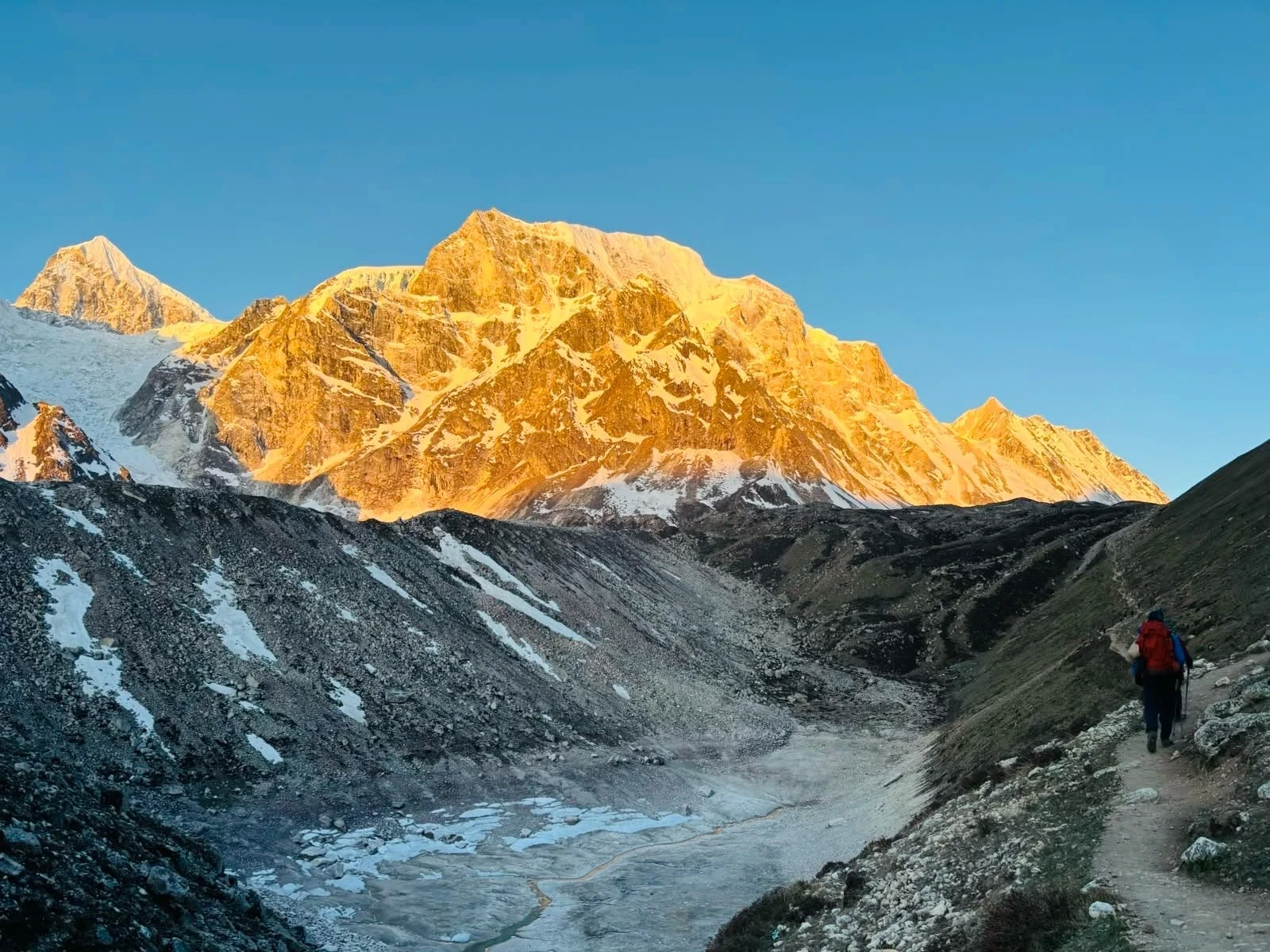
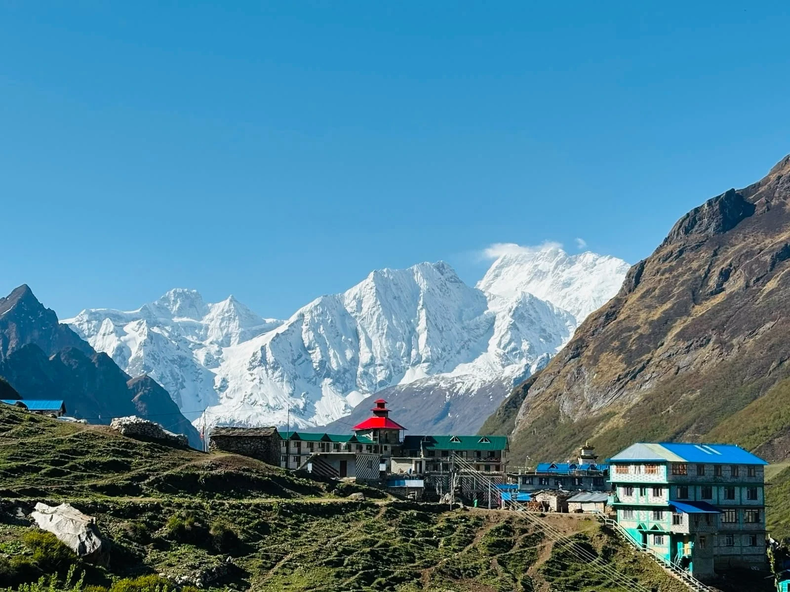
Mount Manaslu, the eighth-highest mountain in the world

How the Manaslu and Annapurna Circuit Trek Route Works

The itinerary has three phases: Manaslu approach and restricted area corridor (Days 1 to 10), the Larkya La crossing and descent to Dharapani (Days 10 to 12), and the Annapurna Circuit ascent and Thorong La crossing (Days 13 to 21). See the full day-by-day itinerary below for altitude, walking time, and accommodation on every day of the trek.

Manaslu and Annapurna Circuit Trek Difficulty and Fitness Requirements

This is a strenuous trek. The 21-day combined itinerary crosses two passes above 5,000m — Larkya La (5,160m) and Thorong La (5,416m) — with only two built-in rest days between Day 1 and the Thorong La crossing on Day 18. The cumulative load is significantly higher than either circuit done alone. For a breakdown of what the Manaslu section alone involves, see our Manaslu Circuit Trek difficulty guide.

Factor Detail
Daily walking 5 to 9 hours. Day 10 (Larkya La) and Day 18 (Thorong La) are 8 to 9 hours each.
Consecutive days 21 trekking days with two acclimatisation days (Sama Gaon and Manang)
Maximum altitude 5,416m at Thorong La Pass on Day 18
Fitness required Walk 5 to 7 hours with a 6 to 8kg daypack on consecutive days. Prior multi-day high-altitude experience strongly recommended.
Not suitable for First-time Nepal trekkers, anyone without prior experience above 4,000m, untreated cardiovascular conditions

Trekkers attempting this route for the first time in Nepal should complete the Annapurna Circuit Trek or Manaslu Circuit Trek as a standalone itinerary first. Contact Trekking Guide Team Adventure for guidance on the right starting route.
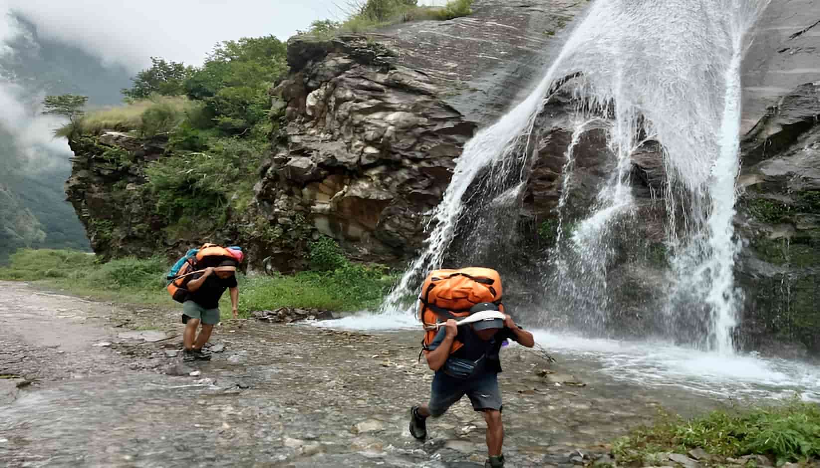
Porters carrying loads on the Manaslu Circuit Trek

Best Time for the Manaslu and Annapurna Circuit Trek in 2026/27

October to November — Best Season: Post-monsoon autumn is the optimal window for the combined route. Both Larkya La and Thorong La are dry and snow-free, mountain visibility is at its annual peak, and trail conditions are stable across all 21 days. Book 3 to 4 months ahead for October departures. The Manaslu restricted area permit operates at its higher rate (USD 100/week) during this period.

March to May — Good Season: Spring is the second best option. Rhododendron forests bloom on the lower Budhi Gandaki approach. Both passes are reliably open from mid-March. Some afternoon cloud builds in May, reducing visibility. Permit operates at the lower rate (USD 75/week) in March and April.

June to September — Not Recommended: The monsoon affects both circuits. The lower Manaslu approach is hazardous and both passes carry higher objective risk. Not recommended.

December to February — Not Recommended: Both passes carry a meaningful risk of snow closure in winter. Thorong La closes periodically in January and February. Not recommended for this combined itinerary.
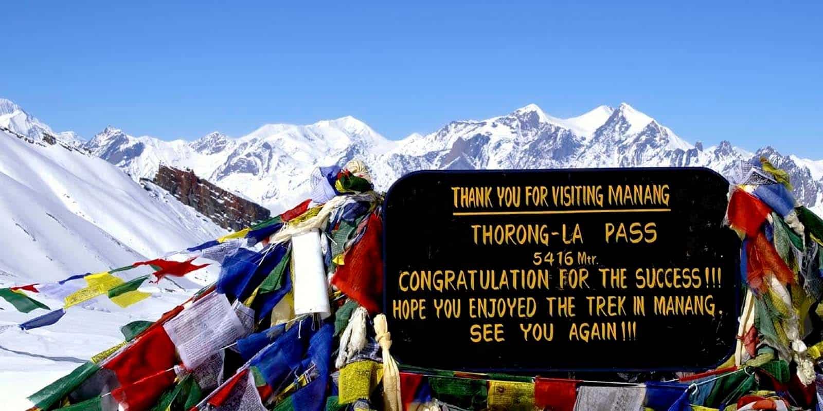
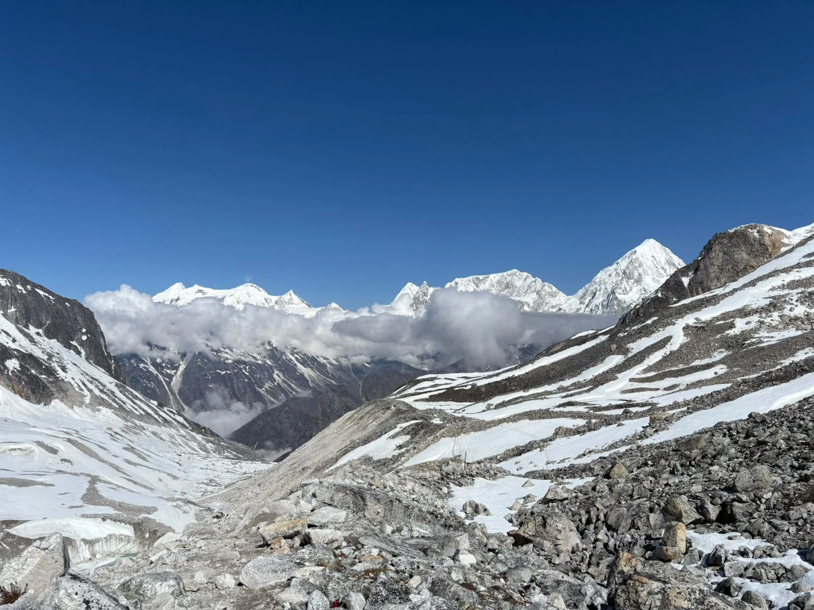
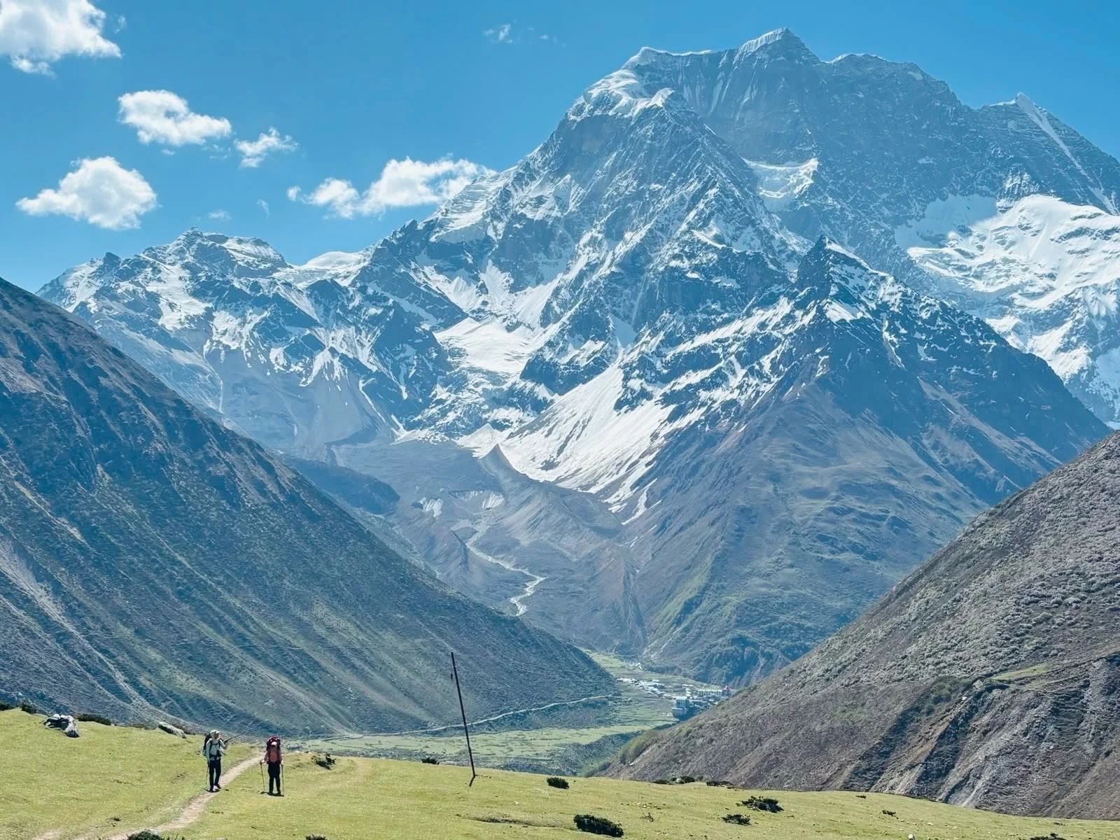
Thorong La pass, the highest point of the Annapurna Circuit

Permits for the Manaslu and Annapurna Circuit Trek in 2026/27

Four permits are required for the combined 21-day route — see our 2026 Nepal trekking permits guide for full details on rules and costs. All four are arranged by Trekking Guide Team Adventure before your departure date — no government office visits, no risk of missing documentation at a checkpoint.

Permit Area Covered Fee 2026/27
Manaslu Conservation Area Permit (MCAP) All Manaslu Conservation Area sections from Machhakhola to Dharapani NPR 3,390 per person (~USD 25)
Manaslu Restricted Area Permit (RAP) Restricted corridor — Jagat to Dharapani USD 100/person/week (Sep to Nov) · USD 75/week (Dec to Aug)
Chumnubri Rural Municipality Permit Local municipality fee for the Manaslu trail corridor ~USD 8 per person
Annapurna Conservation Area Permit (ACAP) Full Annapurna Conservation Area — Dharapani to Muktinath NPR 3,390 per person (~USD 25)
  • TIMS card: Not required on either the Manaslu or Annapurna section in 2026/27.
  • Mandatory licensed guide: Required on the Manaslu restricted area section. A TAAN-registered licensed guide from Trekking Guide Team Adventure accompanies all groups throughout.
  • Two-trekker minimum for the Manaslu RAP: The restricted area permit requires a minimum of two foreign trekkers. Solo travellers join group departures arranged by Trekking Guide Team Adventure.
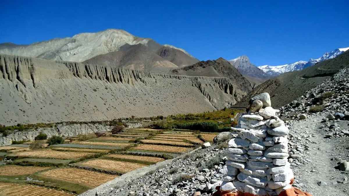
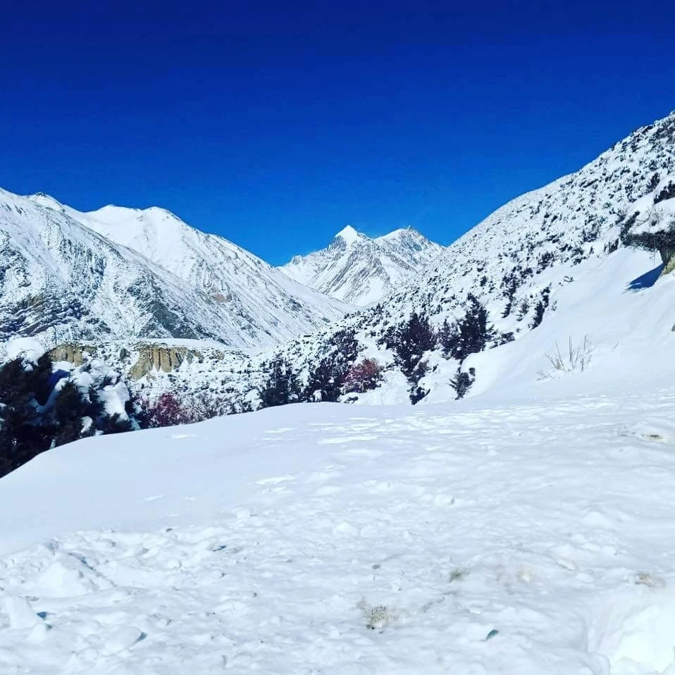
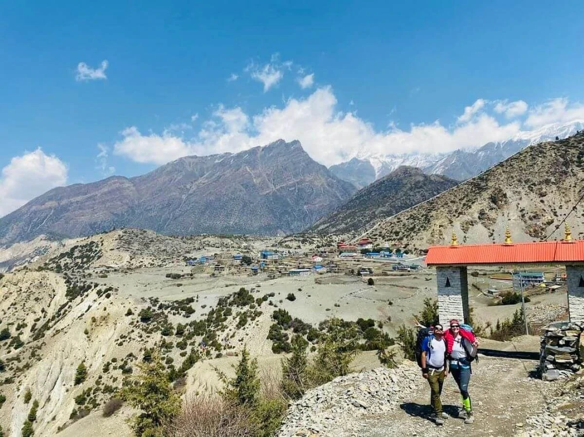
Trekking towards Jomsom in the Kali Gandaki valley

Why Book This Manaslu and Annapurna Circuit Trek with Trekking Guide Team Adventure?

Trekking Guide Team Adventure handles every permit, logistics, and teahouse reservation for this route. With a TAAN-licensed guide on every departure and a small-group approach, this is one of the most comprehensive Himalayan trekking itineraries in Nepal — combining two of the country's best mountain circuits into a single, seamless 21-day traverse. Still deciding between the two? Read our guide on whether the Manaslu Circuit Trek is worth it in 2026/27. Contact the team directly to check upcoming departure dates or to arrange a private departure for your group.
Consult-with-Trekking-Expert

Itinerary

The itinerary has three phases: Manaslu approach and restricted area corridor (Days 1 to 10), the Larkya La crossing and descent to Dharapani (Days 10 to 12), and the Annapurna Circuit ascent and Thorong La crossing (Days 13 to 21).

Tour PlanExpand All

Arrive at Tribhuvan International Airport. Your Trekking Guide Team Adventure representative meets you and transfers you to your hotel in Thamel.

Meet your guide in the evening for a full trek briefing covering the 21-day route, permit logistics, gear check, and what to expect on the Manaslu restricted area approach. All four permits are collected by the team today - no government offices to visit.

A good opportunity for any last-minute gear purchases in Thamel before the drive begins tomorrow.

Max Altitude: 1,400mMeals: Welcome dinnerAccommodation: 3-star hotel, Kathmandu

Depart Kathmandu by private vehicle at approximately 7:00 AM. The route heads west through Dhading and Arughat before following the Budhi Gandaki River valley into the hills. The road becomes rougher and narrower beyond Arughat as you enter the lower Manaslu corridor.

Arrive in Machhakhola by early evening - your first night on the trail in a teahouse.

Max Altitude: 890mMeals: Lunch and DinnerAccommodation: TeahouseDuration: 7 to 8 hoursDistance: 142km

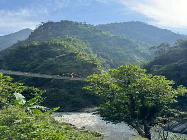
Begin trekking along the Budhi Gandaki River on narrow trails with frequent ascents and descents. Cross suspension bridges, pass through sal forests, and walk through traditional Gurung villages.

Jagat is a checkpoint where the Manaslu restricted area permit is first verified. Your guide carries all permit documentation.

Max Altitude: 1,410mMeals: Breakfast, Lunch, DinnerAccommodation: TeahouseDuration: 6 to 7 hoursDistance: 22km

The trail climbs through stone staircases and narrow hillside paths. Bamboo and rhododendron forest appear as the Budhi Gandaki gorge deepens. Several suspension bridges cross the river as the trail alternates between both banks.

Deng is a traditional village on a river flat - quiet and basic, with the first clear signs of the changing mountain landscape ahead.

Max Altitude: 1,804mMeals: Breakfast, Lunch, DinnerAccommodation: TeahouseDuration: 6 to 7 hoursDistance: 19.9km

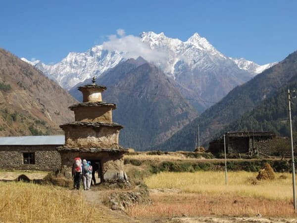
Tibetan cultural influence begins to assert itself today. Prayer walls, mani stones, and the architecture of villages shift noticeably as the trail enters the upper Manaslu corridor.

Namrung sits on a terrace above the valley with early views of the Manaslu massif opening to the north. The restricted area status keeps visitor numbers very low - the trail is noticeably quiet.

Max Altitude: 2,630mMeals: Breakfast, Lunch, DinnerAccommodation: TeahouseDuration: 5 to 6 hoursDistance: 19.5km

Take the early morning detour to Pungyen Gompa before continuing to Sama Gaon. The monastery sits above the main trail and provides the first clear panoramic view of the Manaslu massif - Himal Chuli (7,893m), Ngadi Chuli (7,871m), and Manaslu (8,163m) all visible on a clear morning.

Continue through alpine landscape past Lho village to Sama Gaon - the largest village on the upper Manaslu circuit with a working monastery and yak herders on the surrounding hills. Tibetan culture is fully established here.

Max Altitude: 3,530mMeals: Breakfast, Lunch, DinnerAccommodation: TeahouseDuration: 5 to 6 hoursDistance: 12km

A full rest day with an acclimatisation hike. The standard objective is Birendra Lake (3,691m) and onward to Manaslu Base Camp at 4,800m - a round trip of 5 to 6 hours from Sama Gaon. The base camp sits directly below the South Face of Manaslu.

Return to Sama Gaon (3,530m) to sleep - climb high, sleep low. Drink 3 to 4 litres of water today. Your guide holds an evening briefing on the Larkya La crossing approach and AMS awareness.

Max Altitude: 3,530m (sleep) - 4,800m hikeMeals: Breakfast, Lunch, DinnerAccommodation: Teahouse

A shorter day allowing continued altitude adjustment. The trail heads northwest through open valley and pasturelands toward the Tibetan border. Samdo is a small Tibetan refugee village - the closest point to Tibet on the circuit.

Views of Manaslu, Ngadi Chuli, and Simnang Himal from the village on clear afternoons. Warm layers essential from this point on.

Max Altitude: 3,860mMeals: Breakfast, Lunch, DinnerAccommodation: TeahouseDuration: 3 to 4 hoursDistance: 8.2km

A short trekking day by distance, but the altitude gain matters. Dharamsala (also called Larke Phedi) is little more than a collection of stone shelters below the pass - basic, cold, and crowded in peak season.

Go slowly. This is the last stop before Larkya La, and how you feel here matters more than how far you've walked. Hydrate well and eat despite reduced appetite at altitude.

Max Altitude: 4,460mMeals: Breakfast, Lunch, DinnerAccommodation: TeahouseDuration: 4 to 5 hoursDistance: 11.7km

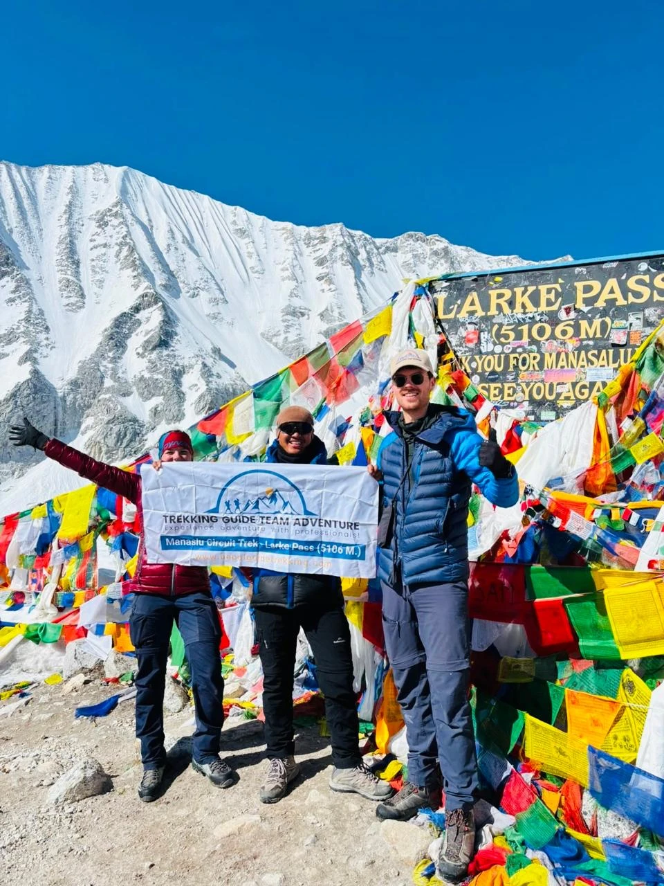
The hardest day of the trek. Start at 3 or 4am while the snow is still frozen and the wind hasn't picked up. The climb from Dharamsala to the pass takes 3 to 4 hours over moraine and glacier margins in the dark.

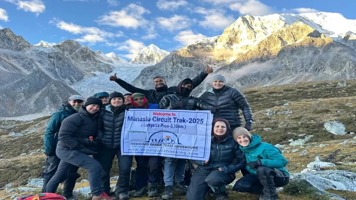
Larkya La (5,160m) is marked by prayer flags and views of Manaslu, Himlung Himal, Cheo Himal, and Kang Guru. Don't linger - the descent to Bimthang is long and the weather deteriorates by early afternoon. Bimthang sits in a stunning alpine bowl below Manaslu's west face.

Max Altitude: Pass 5,160m - Descend to 3,590mMeals: Breakfast, Lunch, DinnerAccommodation: TeahouseDuration: 8 to 9 hoursDistance: 22.7km

A long descent day through changing forest as you drop from alpine terrain back into the Marsyangdi valley. Pass through Gho and Tilje, where the architecture and dress shift noticeably - you're now in ethnic Gurung and Manangi territory rather than the Tibetan-influenced villages of the Manaslu side.

Dharapani marks the official end of the Manaslu Circuit and the start of the Annapurna Circuit. It's also where the trail joins the road used by jeeps running between Besisahar and Chame - a reminder that this section sees far more traffic than the past ten days.

Max Altitude: 1,960mMeals: Breakfast, Lunch, DinnerAccommodation: TeahouseDuration: 6 to 7 hoursDistance: 22.2km

The first day on the Annapurna Circuit. The trail follows the Marsyangdi River through pine and fir forests, passing through Bagarchhap, Danaque, and Timang before reaching Chame - the administrative headquarters of Manang District.

After the basic teahouses above Sama Gaon, Chame's bakeries and better-equipped lodges feel like a welcome step up. Good spot to restock snacks before the higher sections.

Max Altitude: 2,740mMeals: Breakfast, Lunch, DinnerAccommodation: TeahouseDuration: 5 to 6 hoursDistance: 15 to 16km

One of the most dramatic sections of the Annapurna approach. The trail ascends along a narrow ledge before reaching Paungda Danda - a 1,500m curved rock wall rising directly from the Marsyangdi gorge. An extraordinary piece of mountain geography.

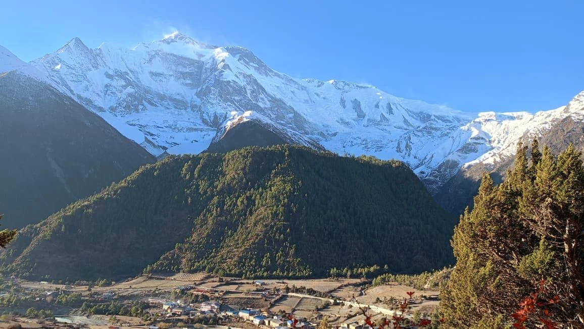
Above the rock wall, the valley opens into the wide Manang basin. Climb to Upper Pisang on the ridge for panoramic views of Annapurna II and Pisang Peak (6,091m).

Max Altitude: 3,115mMeals: Breakfast, Lunch, DinnerAccommodation: TeahouseDuration: 5 to 6 hoursDistance: 13.2km

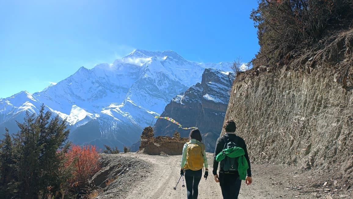
Take the upper route through Ghyaru and Geru rather than the main lower trail. The panoramic views across the Manang Valley - Annapurna II, III, IV, Tilicho Peak (7,134m), and Gangapurna (7,455m) - justify the extra effort.

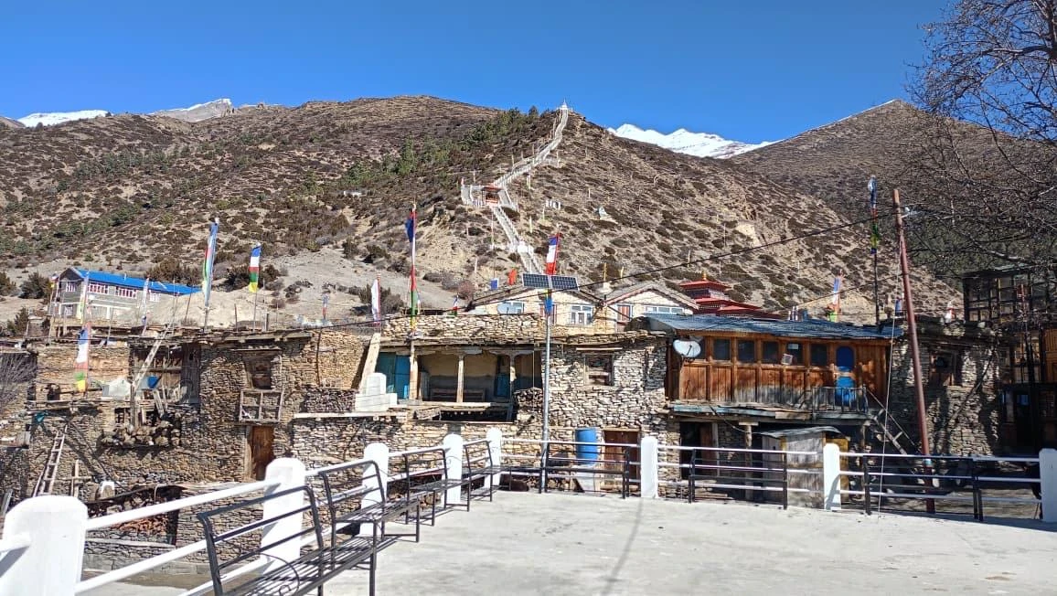
Stop at Barga Monastery above Braga village, one of the oldest active monasteries in the Annapurna region. Arrive in Manang by mid-afternoon. The village has bakeries, a Himalayan Rescue Association clinic, and the most comfortable teahouses since Kathmandu.

Max Altitude: 3,540mMeals: Breakfast, Lunch, DinnerAccommodation: TeahouseDuration: 6 hoursDistance: 17km

A mandatory rest day. Two nights at 3,540m give your body time to consolidate altitude adaptation before the Thorong La approach.

Morning hike options: Gangapurna Lake (3,700m), the upper viewpoint (4,000m), or Bojho Gompa. Climb high, return to Manang to sleep.

Attend the Himalayan Rescue Association altitude briefing in the afternoon - the doctors cover AMS, HACE, and HAPE recognition, descent protocol, and Diamox use. One of the most practically useful hours on the entire trek. Attend regardless of how well you feel.

Max Altitude: 3,540mMeals: Breakfast, Lunch, DinnerAccommodation: Teahouse

The trail leaves the treeline behind as you enter the Jarsang Khola Valley. Wide, windswept moraine with views back down the Manang Valley. Pass Gunsan and Yak Kharka before the final climb to Ledar.

Above 4,000m, pace naturally slows. Ledar is small - cold nights and thin walls. Dinner early, sleep as much as you can.

Max Altitude: 4,200mMeals: Breakfast, Lunch, DinnerAccommodation: TeahouseDuration: 5 hours

A short but steep day by distance, but every step counts at this altitude. The trail climbs steadily above the Jarsang Khola, crossing an exposed, sometimes avalanche-prone slope before the final push to Phedi.

Thorong Phedi (base camp) sits directly below the pass. Some trekkers push on to High Camp (4,925m) to shorten summit day, but Phedi is the standard stop. Rest, hydrate, and prepare gear for an alpine start.

Max Altitude: 4,525mMeals: Breakfast, Lunch, DinnerAccommodation: TeahouseDuration: 4 hoursDistance: 6.9km

Summit day. Leave Phedi at 4 or 5am - headlamps on, layered up, and moving before the wind picks up. The climb to the pass is long and relentless, gaining nearly 900m over rough, often icy terrain.

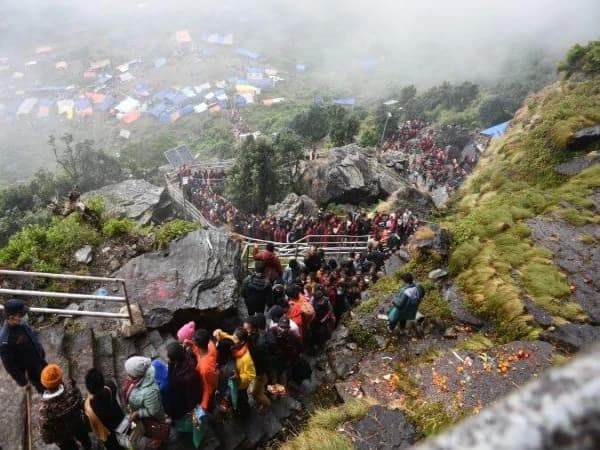
Thorong La (5,416m) is the highest point of the entire trek and the highest trekking pass in Nepal. Prayer flags mark the summit, with views across the Mustang and Annapurna ranges. The descent to Muktinath is steep and knee-jarring - over 1,600m of elevation loss in a single afternoon. Muktinath itself is a major pilgrimage site sacred to both Hindus and Buddhists.

Max Altitude: Pass 5,416m - End 3,760mMeals: Breakfast, Lunch, DinnerAccommodation: TeahouseDuration: 8 to 9 hoursDistance: 15.6km

A well-earned easier day after the pass crossing. Drive or trek down through Kagbeni's medieval alleyways along the Kali Gandaki - the world's deepest gorge, flanked by the Dhaulagiri and Annapurna massifs.

Jomsom, the administrative center of Mustang, sits in the rain-shadow desert landscape typical of this region - a striking contrast to the lush valleys of the Manaslu side. Spend the afternoon exploring the windswept town or resting before the onward journey to Pokhara.

Max Altitude: 2,715mMeals: Breakfast, Lunch, DinnerAccommodation: Teahouse

A scenic drive along the Kali Gandaki and then the Pokhara valley road. The route passes through Beni and Baglung before reaching Pokhara, with views of Dhaulagiri and Annapurna ranges receding behind you as the terrain turns to subtropical hills.

Pokhara feels like a different country after three weeks in the mountains - lakeside cafes, warm air, and hot showers. Settle in, do laundry, and enjoy the comforts before the trip wraps up.

Max Altitude: 915mMeals: BreakfastAccommodation: Hotel, PokharaDuration: 6 to 7 hours - Private vehicle

A free day in Pokhara to rest, shop, or add an optional activity - paragliding over the valley, a boat ride on Phewa Lake, or simply relaxing lakeside after 21 days on the trail.

This buffer day also absorbs any schedule delays from the mountain sections, particularly flight cancellations from Jomsom, which are common in windy conditions. Trekking Guide Team Adventure can arrange your onward transport to Kathmandu or international departure.

Max Altitude: 915mMeals: BreakfastAccommodation: Hotel, Pokhara
Route Map
manaslu annapurna circuit trek map
Altitude Chart
manaslu annapurna circuit trek altitude
Cost Details
Included
  • Meals During Trek: Breakfast, lunch, and dinner (main course) on all 21 trekking days.
  • Trekking Guide: Experienced, TAAN-licensed English-speaking trekking guide throughout the 21-day itinerary.
  • Porter Service: One porter for every two trekkers (carries up to 20 to 22kg combined). Solo travellers should confirm porter arrangements at booking.
  • Transportation: Private vehicle from Kathmandu to Machhakhola (Day 02) and private vehicle from Jomsom to Pokhara (Day 20).
  • Trekking Permits: Manaslu Conservation Area Permit (MCAP), Manaslu Restricted Area Permit (RAP), Chumnubri Rural Municipality Permit, and Annapurna Conservation Area Permit (ACAP).
  • Accommodation: 1 night hotel in Kathmandu (Day 01) and 1 night hotel in Pokhara (Day 20) on bed and breakfast basis, plus all teahouse accommodation during the trek (twin rooms where available).
  • Insurance: Guide and porter insurance.
  • Service Charge: Our service charge.
Excluded
  • Nepal Visa Fee: Payable in cash on arrival at Kathmandu airport — USD 30 for 15 days, USD 50 for 30 days.
  • Personal Travel and Rescue Insurance: Required for all trekkers. Must cover helicopter evacuation from both Manaslu restricted area and Annapurna Conservation Area.
  • Personal Trekking Equipment: Sleeping bag (-15 Celsius), down jacket, trekking boots, trekking poles, gloves, sunglasses, hat, warm layers, and personal medications.
  • Meals and Personal Expenses in Kathmandu and Pokhara: Lunch, dinner, and personal expenses outside the included hotel breakfasts.
  • Drinks and Beverages on Trek: Tea, coffee, bottled water, soft drinks, alcohol.
  • Hot Showers on Trek: Approximately USD 1 to 3 at most teahouses.
  • WiFi and Battery Charging: Approximately USD 1 to 2 per device, more common above 3,500m.
  • Airport Transfers in Kathmandu.
  • Tips for Guide and Porter: Standard USD 10 to 15 per day for guide, USD 5 to 8 per day for porter.
  • Chumnubri Rural Municipality Permit Fee: USD 8 per person, paid locally in cash and not included in the package price.
  • Emergency Evacuation Costs: Not covered by personal insurance premiums — ensure your policy includes helicopter rescue.
  • Anything not mentioned in the Cost Includes section.
FAQs

At Dharapani in the Marsyangdi Valley (1,960m) on Day 11. The Manaslu Circuit descends from Bimthang to Dharapani. The Annapurna Circuit then continues northeast from Dharapani toward Chame, Manang, and Thorong La. No vehicle transfer required - the trail continues in the same direction up the same valley.

Four permits: Manaslu Conservation Area Permit (MCAP), Manaslu Restricted Area Permit (RAP), Chumnubri Rural Municipality Permit, and Annapurna Conservation Area Permit (ACAP). TIMS is not required on either section in 2026/27. All four are arranged by Trekking Guide Team Adventure before your departure.

Yes, but the Manaslu restricted area permit requires a minimum of two foreign trekkers. Solo travellers join group departures with Trekking Guide Team Adventure. The solo package is priced at USD 1,700 and includes a licensed guide throughout. Contact the team for upcoming departure availability.

Day 18 - the Thorong La crossing at 5,416m, completed after 17 consecutive days already on the trail. Day 10 (Larkya La at 5,160m) is the second hardest, crossed before dawn after 9 days on the Manaslu section. Both are long days above 5,000m starting before 4am.

Yes. Crossing two passes above 5,000m in the same trip, with accumulated fatigue from 21 consecutive days, produces significantly higher cumulative demand than either circuit alone. Trekkers who have not completed at least one of the two circuits should do so before attempting the combined itinerary.

October to early November. Both passes are reliably open and dry, visibility is excellent, and trail conditions are stable across all 21 days. March and April are the second best window. Avoid the monsoon (June to September) and winter (December to February).

Cost and time. Two separate trips require two international flights, two visa applications, two sets of permits, and two guide engagements. The combined 21-day package typically saves Western trekkers USD 1,200 to 2,000 compared to two separate journeys - plus only one period of annual leave.

Expert Consultation